In today’s forecast, we cover a quick-hitting Pacific trough set to bring cooler temperatures and gusty winds to the Metro area today. We also provide an update on the major spring storm eyeing Colorado late in the week.
Tag: Boulder (Page 4 of 37)
The week begins warm and breezy, with quiet conditions taking over through Thursday. However we are closely watching the potential for a significant rain and snow event on Friday for the state. Read on for complete details of the week ahead.
Strong winds are poised to impact the Front Range over the next four days as a potent Pacific trough moves across the state. The winds will also accompany drastic changes in temperatures from the 70’s to the 30’s, unfortunately. Read on for details.
After a brief review of last Friday’s snow, we cover the forecast for the upcoming week. Overall it will be quiet with very comfortable temperatures, though we are watching a Pacific cold front set to bring Mountain snow, strong winds, and cooler weather towards the end of the week.
We hope you had a wonderful Easter holiday. For the remainder of this week, we start off with windy and chillier weather as the main story. After that, we’re expecting a brief warm-up followed by a very real chance of rain and snow. Read more to find out the full details!
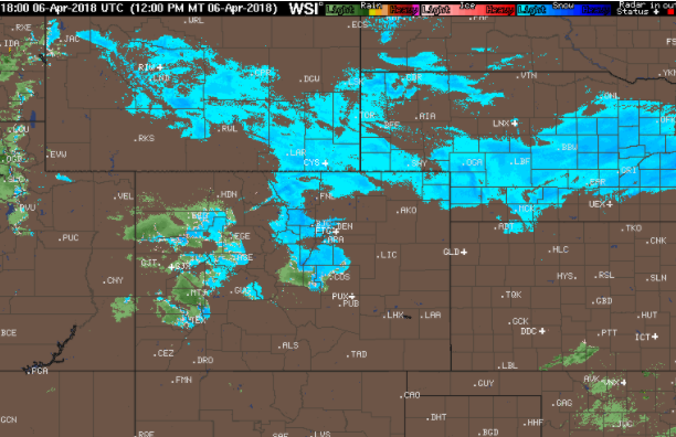
A quick round-up of precipitation and snow totals from Wednesday’s over-producing winter event.
A secondary weather system will bring a return of rain and snow to our region on Wednesday. This system is slightly warmer and weaker than the one earlier in the week. Nonetheless, some accumulating snow is possible later tonight. Read on for details.
© 2026 Front Range Weather, LLC


