


Tag: Boulder (Page 5 of 42)
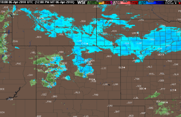

We hope you had a wonderful Easter holiday. For the remainder of this week, we start off with windy and chillier weather as the main story. After that, we’re expecting a brief warm-up followed by a very real chance of rain and snow. Read more to find out the full details!
A quick round-up of precipitation and snow totals from Wednesday’s over-producing winter event.
A secondary weather system will bring a return of rain and snow to our region on Wednesday. This system is slightly warmer and weaker than the one earlier in the week. Nonetheless, some accumulating snow is possible later tonight. Read on for details.
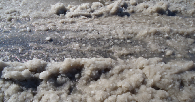
Monday evening’s wet snow brings us closer to normal precipitation for the month of March. We review the snow totals from across the region and discuss our next chance of snow.
Despite the warm weather of late, snow is once again headed to our region Monday evening and night. We provide details on the timing and potential snowfall amounts for this quick-moving spring storm.
Premium Storm Update (Mon Mar 26 at 7:00 AM) Minor northward adjustments for tonight’s rain/snow: READ NOW
We often include at least some discussion in our wintry forecasts about snow-to-liquid ratios. In this post, we explain what they are, why they matter, and examine the historical snow ratio record for Front Range Colorado.
Current Conditions
Live Radar

Latest Smoke Forecast

Recent Premium Posts

BoulderCAST Daily – Sun 11/01/26 | A Storm System Takes Aim on Colorado
🌡️ Downward Temperature Trend — Highs in the lower to middle 60s today …
BoulderCAST Daily – Sat 10/31/26 | A Foggy Start to Halloween
🎃 🌫️ Halloween Day starts off with fog — Seasonable temperatures near 60° …
BoulderCAST Daily – Fri 10/30/26 | A Largely Dry Halloween Weekend
🎃 Halloween Weekend Looks Mainly Dry — Seasonable temperatures near 60°, albeit with …
3-Day Forecast

Trending Content



© 2026 Front Range Weather, LLC