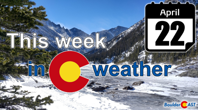
After another round of spring snow over the weekend, the pattern will stay somewhat active across the Front Range this week, but with the warmer late April temperatures translating to only rain chances for the lower elevations. Unfortunately it looks like the gloom will stick around into the upcoming weekend as well. Let’s take a look.
Category: Verification (Page 10 of 53)
These posts take a look back at recent weather events, like snow storms or severe weather outbreaks, and evaluate how the forecast played out. We evaluate how well the models predicted what actually occurred, and offer insight into what can be learned and applied moving forward.
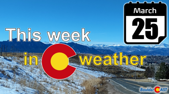
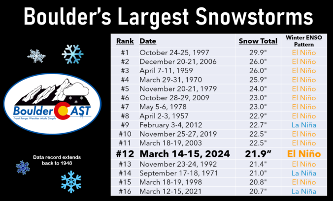
The month of March was fairly dry and chilly most of the time, but we can’t forget the historic El Niño snowstorm which slammed the entire Front Range around the middle of the month. Snow totals of 1 to 2 feet occurred in Boulder and Denver with up to 5 feet fell in the nearby Foothills. Here’s a quick and colorful graphical recap of our weather during March and how it relates to climatology.
After a solid dump of springtime snow Sunday night, including widespread thundersnow, things will turn quiet for the week ahead with temperatures trending from downright chilly back to t-shirt weather by week’s end. We recap last night’s snowstorm, check the snowfall totals, and detail the Front Range forecast for the next seven days. Let’s dive in!
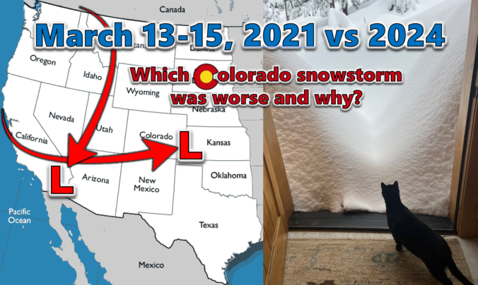
Last week’s dumping of wet snow in the Front Range occurred three years to the day after our most recent significant snowstorm back in March of 2021. We do a comparative analysis between these two epic mid-March snowstorms, examining their distinct storm tracks, the meteorological factors contributing to their varied snowfall production, and discuss their differing forecast hype. We also explore their respective snow totals and distribution across the Denver Metro area, including a detailed account of how these two snowstorms were able to make Front Range history exactly three years apart despite being so fundamentally different.
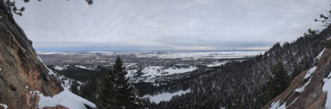
As promised, a well-advertised spring-like snowstorm delivered the goods to (almost) the entire Front Range this week with over four feet of snow falling in the Foothills and up to 2 feet across the lower elevations. We take a look back at this odd, moisture-infused winter storm, discussing how the difficult forecast evolved during the lead up and ultimately how much rain and snow pummeled the area.
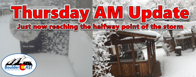
After a round of rain and thunderstorms Wednesday, everyone changed over to heavy snow Wednesday night with a dense blanket of sludge now covering the entire area as of Thursday morning. Though there will be a slight lull in the action for a few hours here, moderate to heavy snow is expected to redevelop soon with snow continuing non-stop into Friday morning. We are only now at approximately the halfway point of the storm. We take a look at how much snow has fallen already and discuss how much more is still to come!

Live View of Boulder

Current Conditions

Live Radar

Recent Premium Posts

BoulderCAST Daily – Sun 05/31/26 | Dry and warm today but rain chances increase this week
🌦️ Overall dry and warm Sunday, though cannot rule out a very widely …
BoulderCAST Daily – Sat 05/30/26 | A stray shower today as most activity resides well east of Denver
🌦️ Spotty showers today, mainly well east of the Denver Metro area, where …
BoulderCAST Daily – Fri 05/29/26 | A Marginal Risk of Severe Isolated Storms
🌦️ Spotty showers this afternoon, mainly noon and 4 PM, with highs in …
3-Day Forecast

Trending Content

© 2026 Front Range Weather, LLC