



A moisture-infused spring storm dumped up to 2″ of liquid and 2 feet of wet snow in portions of the Metro area on Thursday on the first day of spring. We briefly review the atmospheric setup and take a look at the regional snow totals and blizzard-inducing wind gusts.
Category: Forecast (Page 96 of 169)
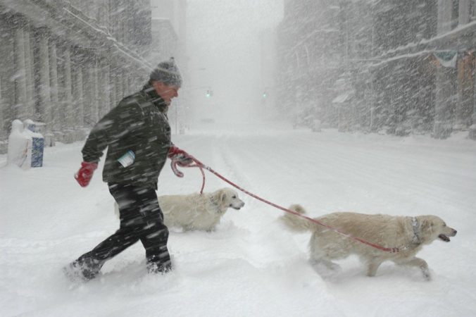
Paradoxically, the last day of winter will feel like spring and the first day of spring will be filled with heavy blowing snow. The Front Range will transition from warm and sunny weather Wednesday afternoon quickly to blizzard-like conditions on Thursday. However, the forecast remains a steep challenge with a combination of several factors likely to limit overall snow accumulation across the Denver Metro area, despite a deluge of liquid expected. We discuss the latest forecast, including our concerns about the wintry aspects of the storm and how much snowfall to expect.
PREMIUM UPDATE (8:00 AM Thu 03/19/20): We take a look at the impressive satellite imagery and observations this morning across the Denver Metro area and discuss our lingering concerns with those pesky springtime temperatures. Click HERE to read.

⦁❶⦁ Shallow upslope this morning produces widespread low clouds, patchy fog/drizzle
⦁❷⦁ Mostly cloudy through the day, highs in the low to middle 50’s
⦁❸⦁ The weather models remain consistent for the rain to snow event later this week
⦁❹⦁ Increasing confidence for heavy snow across Front Range, but several inhibiting factors will limit accumulation

It’s business as usual to start the week with continued mild conditions through Wednesday. However, we are keeping close tabs on a developing winter storm later this week. It’s a complex system to say the least and our confidence in the forecast is low right now, but we could be talking up to a foot of snow in some portions of the Metro area by Friday morning. Read on for our complete outlook for the next five days.
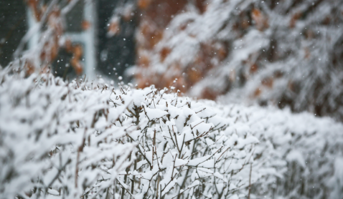
Goodbye Spring! Our weather has already turned colder following the passage of a front earlier this morning. The stakes get raised even further Thursday night into the day Friday when a wide range of precipitation is expected across the Front Range. In this end of week forecast update, we talk freezing drizzle, rain and snow. And yes, there is a snowfall map!

After a rather pleasant weekend concluding with a few thundershowers Sunday night, we enter a calmer pattern for the next several days as temperatures remain above normal. We are however monitoring a southern-track storm system which may bring a return of rain and snow to the Front Range late in the week.

Following a quick taste of winter Sunday night, our weather takes a turn for the better with warmer and drier conditions ensuing this week. We discuss the snow totals from Sunday night and look ahead to possible record warmth later this week into the weekend.

Spring is in the air! An interesting weather setup is taking shape to change rain over to snow across the Boulder-Denver area late in the day Sunday into Sunday night. In general, snow amounts will be just a few inches, but we are concerned that springtime convection and cold temperatures may combine Sunday evening to produce embedded pockets of very heavy snow, possibly accompanied by thunder. Read on for our complete forecast and our thoughts on where thundersnow is most likely Sunday evening.

Live View of Boulder

Current Conditions

Live Radar
Latest Smoke Forecast

Recent Premium Posts

This Weekend in Colorado Weather: Several More Scorching Days Ahead Before the Long‑Awaited Monsoon Pattern Arrives
☀️ Persistent heat continues — Low to mid‑90s through Saturday, spiking towards the …
BoulderCAST Daily – Wed 07/15/26 | The Ridge Rules the Rockies as Hot, Dry Pattern Holds Firm
🔥 Heat dome setup continues — A strong, stationary 500 mb ridge keeps …
BoulderCAST Daily – Tue 07/14/26 | The Front Range Continues to Bake Under Expansive Ridge
🔥 Heat streak continues — Boulder hit 97°F for the third time in …
3-Day Forecast

Trending Content



© 2026 Front Range Weather, LLC