


A cold snap sets in to start the week, along with heavy snowfall for the higher terrain. A slow warming trend takes shape come Wednesday but doesn’t get into full-swing until the weekend. Read on for more details.
Category: Forecast (Page 97 of 169)
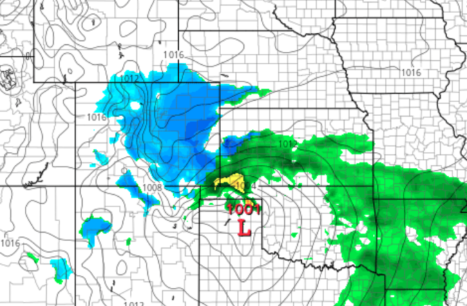
A potent southern-track storm system will scoot across southern Colorado on Sunday bringing the return of winter weather to the Front Range. While warmer temperatures will limit the overall impact, we are expecting a small amount of accumulating snow for much of the Denver Metro area. Read our latest forecast and see where your location lands on our snowfall forecast map.

Though only an inch or so of snow may have fallen in your area on Wednesday, upwards of 3 to 6 inches were reported within the city limits of Boulder. We take a look at the snow totals from yet another “light” snowfall event the struck the Metro area Wednesday afternoon and evening. We also look ahead to our next, potentially more significant winter storm targeting the Front Range for the upcoming weekend.
Continue reading
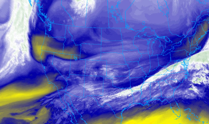
We’re starting to sound like a broken record, but more snow is on the way later today into tonight. Read our latest thoughts on the forecast which will produce light accumulations across the Front Range once again.
PREMIUM UPDATE (11:00 AM Wed 02/19/20): Wednesday morning’s model runs came in a little snowier, but are they being overly optimistic? We take a look at the latest model data in conjunction with satellite/radar observations to find out. Click HERE to read.
A continued flow of weak weather systems into Colorado this week will lead to a duet of light snow chances and unseasonably cold temperatures through mid-week. However, things take a much warmer turn heading into the weekend.
Update (Mon 2/17/20 3:00 PM): Added our official snowfall forecast map for light snow falling Monday evening and night.
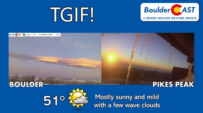
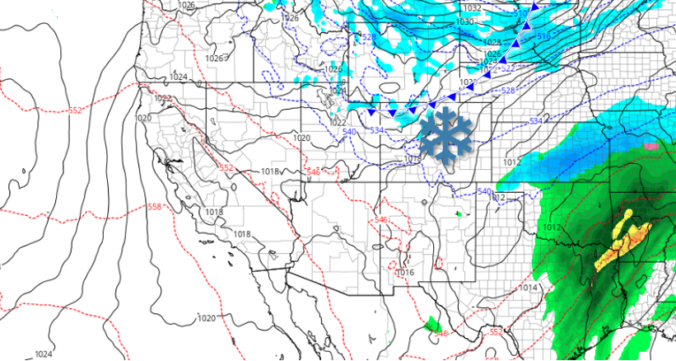
Models finally came into a snowy agreement last evening and unfortunately this means we have another round of snow to deal with Wednesday afternoon and evening, one which may turn out quite similar to what transpired on Monday. Read on for our full forecast, including when the snow will start and how much to expect in your area.

Live View of Boulder

Current Conditions

Live Radar
Latest Smoke Forecast

Recent Premium Posts

This Weekend in Colorado Weather: Several More Scorching Days Ahead Before the Long‑Awaited Monsoon Pattern Arrives
☀️ Persistent heat continues — Low to mid‑90s through Saturday, spiking towards the …
BoulderCAST Daily – Wed 07/15/26 | The Ridge Rules the Rockies as Hot, Dry Pattern Holds Firm
🔥 Heat dome setup continues — A strong, stationary 500 mb ridge keeps …
BoulderCAST Daily – Tue 07/14/26 | The Front Range Continues to Bake Under Expansive Ridge
🔥 Heat streak continues — Boulder hit 97°F for the third time in …
3-Day Forecast

Trending Content



© 2026 Front Range Weather, LLC