



The first high wind event of the “winter” season is upon us. We touch on why these type of downslope events happen, and provide details on the timing and intensity of the strongest winds.
Category: Forecast (Page 134 of 169)

Look for cold temperatures and a wintry mix on Monday, followed by a return to mild weather come midweek thanks to downslope winds across the Foothills and Plains. Read on for our spooky forecast for Halloween and the upcoming week.
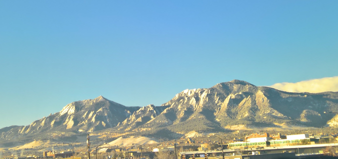
From summer to winter in the blink of an eye! There has been quite the weather transition in the last 48 hours. We review yesterday’s snowfall and give some insight into when we may see our next.

Temperatures are climbing to near-record levels into the low 80’s this afternoon. Would you believe that by this time tomorrow we’ll be 40 to 50 degrees colder with snowflakes flying? That is the situation at hand as a quick-moving storm system is set to clip eastern Colorado. Read on for details.

The main story for the week ahead will be the roller-coaster ride of temperatures! They will soar to near 80 degrees by midweek, but then tumble to bring the chance of snow to the region by Thursday. Read on for our complete outlook of the upcoming week.
The gorgeous weather pattern of last week will continue into the week ahead with warm sunny days and cool autumn nights. There isn’t much actual weather to discuss this week this week, but we’ll give it our best shot!

We hope you enjoyed the Columbus Day holiday! In this special weekly outlook, we provide a brief recap of yesterday’s snowstorm, announce the winners of our 2017 First Snow Contest, and detail the warm and sunny weather about to make a rebellious stand across Colorado.
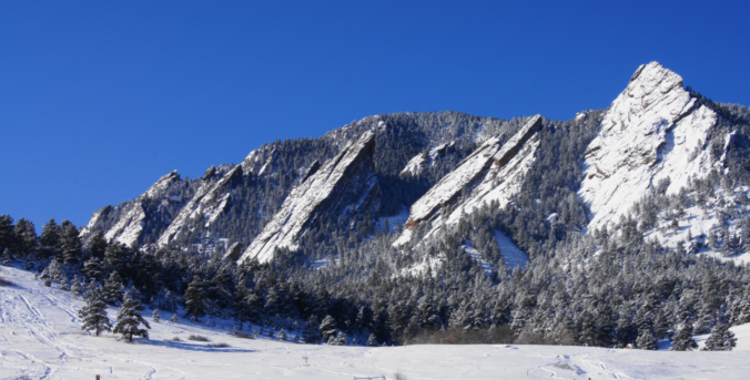
The winter storm advertised by the weather models remains on track to bring snow and much colder temperatures to the region tonight. We provide a timeline for the storm and our final snowfall forecast map.

Live View of Boulder

Current Conditions

Live Radar
Latest Smoke Forecast

Recent Premium Posts

BoulderCAST Daily – Fri 07/17/26 | Hot and dry continues through the weekend
🥵 Heat tightens its grip this weekend — Ridge strengthens slightly over the …
This Weekend in Colorado Weather: Several More Scorching Days Ahead Before the Long‑Awaited Monsoon Pattern Arrives
☀️ Persistent heat continues — Low to mid‑90s through Saturday, spiking towards the …
BoulderCAST Daily – Wed 07/15/26 | The Ridge Rules the Rockies as Hot, Dry Pattern Holds Firm
🔥 Heat dome setup continues — A strong, stationary 500 mb ridge keeps …
3-Day Forecast

Trending Content



© 2026 Front Range Weather, LLC