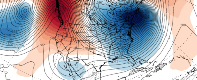
The week ahead looks rather tranquil with high pressure primarily in control. A few weak cold fronts will push across the state to create swings in temperatures between the 50’s and 60’s. The extended outlook shows a possibly more active pattern going for next week. Read on for more details.
Category: Forecast (Page 133 of 169)
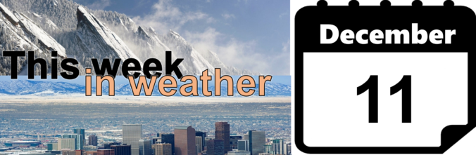
We discuss the forecast for snow on Thursday and how the weather pattern is shaping up heading into the holiday season.
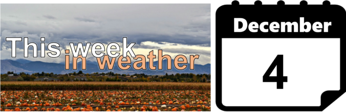
The month of November wrapped up as the second warmest on record in Boulder. During the month, we had ten 70+ degree days, but only one with a high temperature below 40 degrees. The remarkable warmth of late will NOT continue for the week ahead, unfortunately. Continue reading as we detail the forecast for the next seven days.
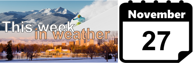
As we enter the last week of November, temperatures continue their above normal stretch on this Monday. The week ahead will feature a series of two systems moving through, each of which will produce swings in temperatures, as well as the very slight chance of rain and snow showers. Read on as we detail the week and look into early December’s outlook.
The high temperature today in Boulder was more than 20 degrees above average. We review where this falls historically and discuss the weather for the upcoming weekend, including the potential for snow in the extended forecast.
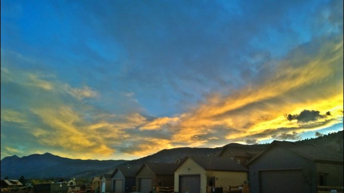
Read on as we detail the weather for the week ahead, including travel impacts for the Thanksgiving holiday.
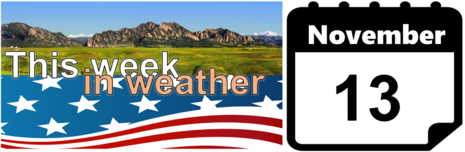
This week’s weather will be rather tranquil, with temperatures overall above average for this time of year. However, we are watching a cold front for Wednesday and a trough late in the week that could bring snowfall to the region. We detail all this and more in our weekly outlook for the third week of November.
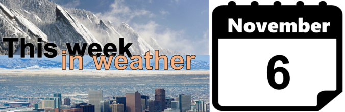
This week’s weather is front-loaded with light snow and colder temperatures Monday night into Tuesday. We discuss potential snow accumulations for the Front Range, then detail quiet and seasonal conditions returning for the remainder of the week.

Live View of Boulder

Current Conditions

Live Radar

Latest Smoke Forecast

Recent Premium Posts

BoulderCAST Daily – Fri 07/17/26 | Hot and dry continues through the weekend
🥵 Heat tightens its grip this weekend — Ridge strengthens slightly over the …
This Weekend in Colorado Weather: Several More Scorching Days Ahead Before the Long‑Awaited Monsoon Pattern Arrives
☀️ Persistent heat continues — Low to mid‑90s through Saturday, spiking towards the …
BoulderCAST Daily – Wed 07/15/26 | The Ridge Rules the Rockies as Hot, Dry Pattern Holds Firm
🔥 Heat dome setup continues — A strong, stationary 500 mb ridge keeps …
3-Day Forecast

Trending Content

© 2026 Front Range Weather, LLC