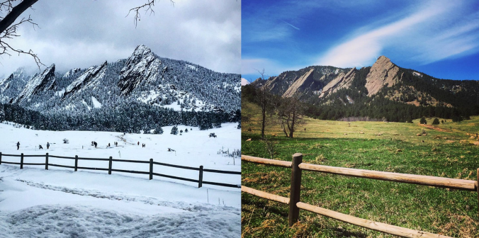
With April come and gone, we are now fully entrenched in the Spring season here in the Front Range. We take a look at current trends, past climatology, and offer our prediction for the month of May in northeast Colorado.
Category: Forecast (Page 125 of 169)
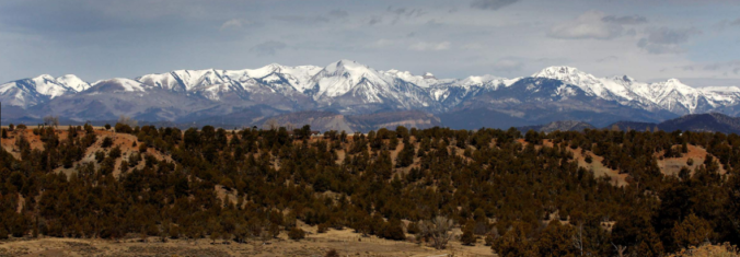
Have you noticed the drop in visibility across the Front Range over the last few days? This haziness is actually smoke from the 11,000+ acre Tinder Fire currently burning in central Arizona. This may only be a foreshadow of things to come later this summer as parts of southwestern Colorado and the Four Corners region have recently shifted into the most severe drought classification. We provide an update on the situation and take a look at snowpack statewide.
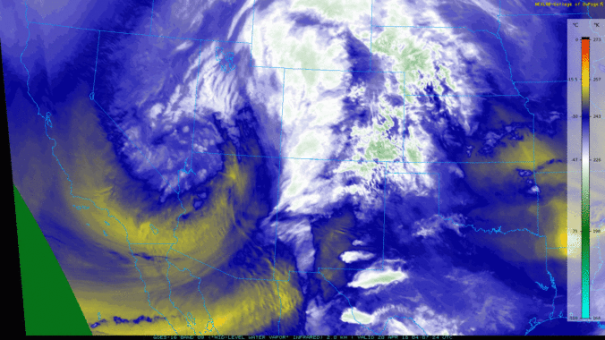
Premium Storm Update (Thu May 3 at 6:00 AM) Strong cyclogenesis and upslope: Moderate lower elevation rain and heavy snow in the Foothills is falling this morning as 40 mph upslope briefly surges into the Metro area. READ NOW
—
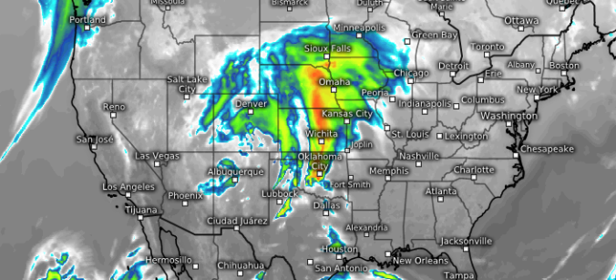
We provide a quick forecast update as a vigorous storm system bears down on Colorado. Our forecast includes widespread soaking rain, borderline severe thunderstorms, and a snowfall forecast map for the higher elevations.
This week begins on the mild side, but transitions toward a wet and chilly pattern quickly come midweek. While snowfall will be confined to the higher Foothills and High Country, the lower elevations are poised to pick up a significant amount of much-needed rainfall. Read on for more details.
This week begins right where last week ended….with an approaching storm and the chance of showers for the region. Then, a high-amplitude ridge will build by midweek bringing quiet and somewhat warmer weather for us heading into the weekend. Read on for details.
We provide a final forecast update as rain and snow descend on the Front Range with an updated snowfall forecast map.
Over the last few days, weather models have shifted a few degrees warmer for the incoming spring storm. We discuss the implications and provide our preliminary snowfall forecast map.
Nice today, not so much tomorrow…Enjoy it!

Live View of Boulder

Current Conditions

Live Radar

Latest Smoke Forecast

Recent Premium Posts

BoulderCAST Daily – Fri 07/17/26 | Hot and dry continues through the weekend
🥵 Heat tightens its grip this weekend — Ridge strengthens slightly over the …
This Weekend in Colorado Weather: Several More Scorching Days Ahead Before the Long‑Awaited Monsoon Pattern Arrives
☀️ Persistent heat continues — Low to mid‑90s through Saturday, spiking towards the …
BoulderCAST Daily – Wed 07/15/26 | The Ridge Rules the Rockies as Hot, Dry Pattern Holds Firm
🔥 Heat dome setup continues — A strong, stationary 500 mb ridge keeps …
3-Day Forecast

Trending Content

© 2026 Front Range Weather, LLC