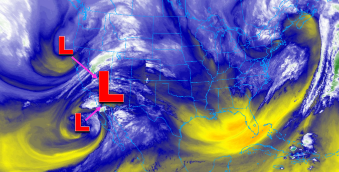
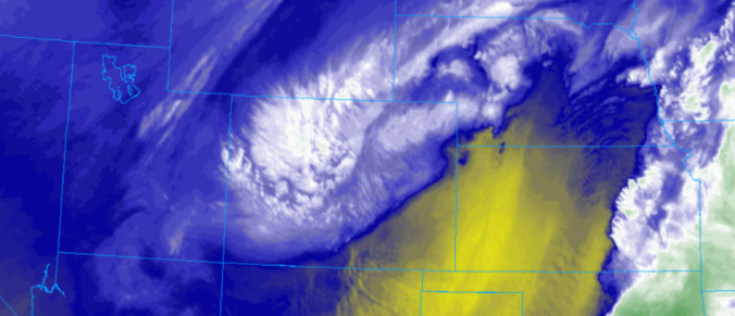
One thing is for sure, a prolonged period of cold and unsettled weather will take hold of the Front Range Wednesday morning into Friday. A mash-up of rain, snow, and freezing drizzle will intermittently impact the area during this timeframe. Overall precipitation rates will be light, but the long duration could lead to light snow accumulations by Friday morning. In this update, we talk tumbling temperatures, rain/snow/ice timing, and potential snow accumulations.
*PREMIUM* STORM UPDATE (7:00 AM Thu 11/21): Don’t be fooled by the lull in the action… There is still more light snow to come! READ HERE

