


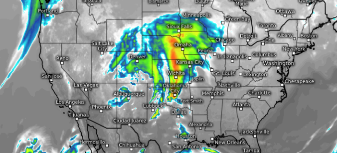
Over the last few days, weather models have shifted a few degrees warmer for the incoming spring storm. We discuss the implications and provide our preliminary snowfall forecast map.
Tag: Denver (Page 5 of 43)
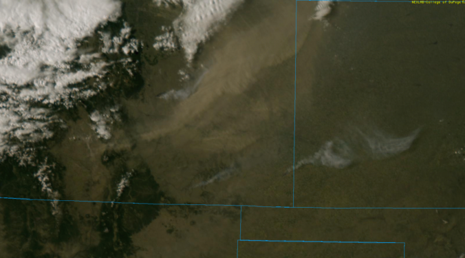
Several favorable atmospheric components aligned to produce very strong winds across the Metro area Tuesday afternoon and evening. We look at the peak wind gusts and also check out the view from the space borne GOES-16 weather satellite.
Brief mid-level ridging returns to Colorado today, bringing quiet conditions and sunshine to our region. We also discuss the latest forecast for the classic Front Range spring storm headed our way on Friday!
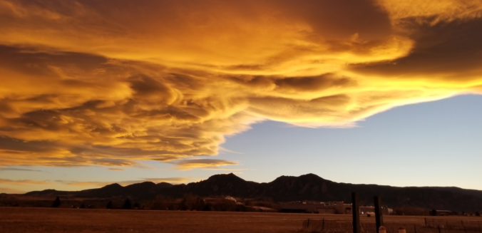
Even with thick high-level clouds overhead, yesterday saw “Fair” weather conditions reported across the Metro area, but what does this actually mean? As it turns out, “Fair” weather can signify a lot of things, with one critical caveat.
In today’s forecast, we cover a quick-hitting Pacific trough set to bring cooler temperatures and gusty winds to the Metro area today. We also provide an update on the major spring storm eyeing Colorado late in the week.

The week begins warm and breezy, with quiet conditions taking over through Thursday. However we are closely watching the potential for a significant rain and snow event on Friday for the state. Read on for complete details of the week ahead.
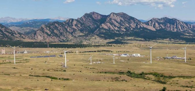
Strong winds are poised to impact the Front Range over the next four days as a potent Pacific trough moves across the state. The winds will also accompany drastic changes in temperatures from the 70’s to the 30’s, unfortunately. Read on for details.
Live Radar

Trending Content


© 2026 Front Range Weather, LLC