



Page 249 of 586
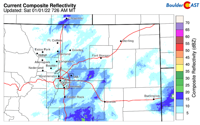
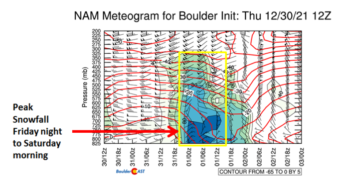

Hooray! The New Year’s Eve snow event is confirmed and whether you like it or not is coming in on the higher-end of initial predictions as models continue to slow the storm down and usher in the bitter cold air to the Front Range. How much snow are we expecting? Will New Year’s Eve travel be significantly impacted? And how cold will it get? We have a lot to discuss so let’s get right into it!
Premium Storm Update (12/31/21 6:00AM): We do final check on the latest model runs and take a look at some of the more in-depth aspects of the event including a forecast time series of the upslope profile. READ HERE.
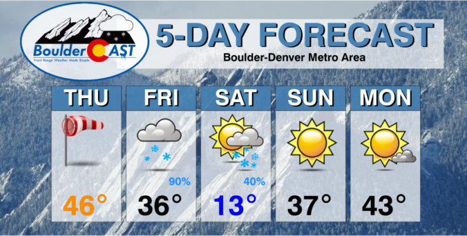
⦁❶⦁ Falling and blowing snow will continue at various intensities in the Mountains through the rest of the week causing travel impacts
⦁❷⦁ Very quiet today across the Denver Metro area with highs in the 30’s under partly cloudy skies
⦁❸⦁ Warmer tomorrow, but high winds are possible in and near the Foothills — this will create elevated fire danger
⦁❹⦁ New Year’s Eve snowfall is all but guaranteed (woo!), but models still disagree on how much snow will fall


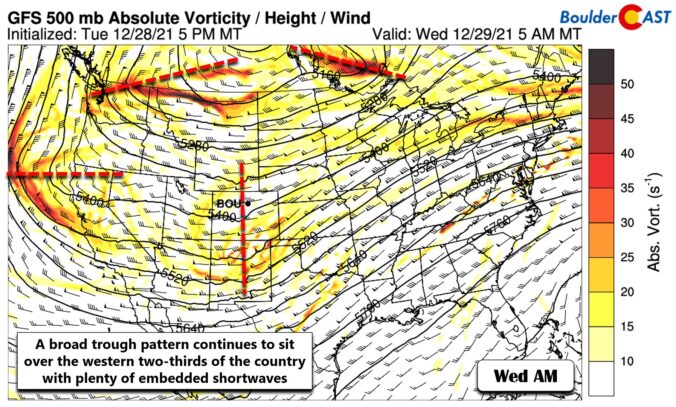
Our state has benefited greatly from the recent atmospheric river event with snowpack thankfully getting back close to normal for now. However, things remain dreadfully dry east of the Continental Divide. The week ahead will offer generally cooler than normal temperatures across the Denver area with continued Mountain snowfall really piling up. We are also tracking a potential Arctic outbreak and some snow just in time to ring in the New Year. Here’s the latest.


Live View of Boulder

Current Conditions

Live Radar

Latest Smoke Forecast

Recent Premium Posts

BoulderCAST Daily – Sat 10/10/26 | Mild Temperatures Continue
🌤️ Continued mild this weekend: Highs remain in the low to mid-80s, still …
BoulderCAST Daily – Fri 10/09/26 | Mild and Quiet Weather Through the Weekend
🔥 Record October heat: Highs may approach record highs today in the middle …
This Weekend in Colorado Weather: 80s Continue With a Big Western Storm Brewing, But Colorado’s Role Next Week Remains Unclear
🌤️ Summer Preview Continues: Warm and dry weather hangs on through the weekend …
3-Day Forecast

Trending Content



© 2026 Front Range Weather, LLC