



Page 250 of 586

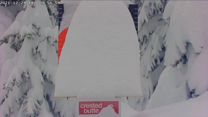
We provide a quick update on the ongoing atmospheric river event which will pile up feet of snow in Colorado’s mountains by Christmas morning. With mild temperatures holding across the lower elevations and a few rare December raindrops falling from the sky, it looks like a white Christmas will elude us once again.
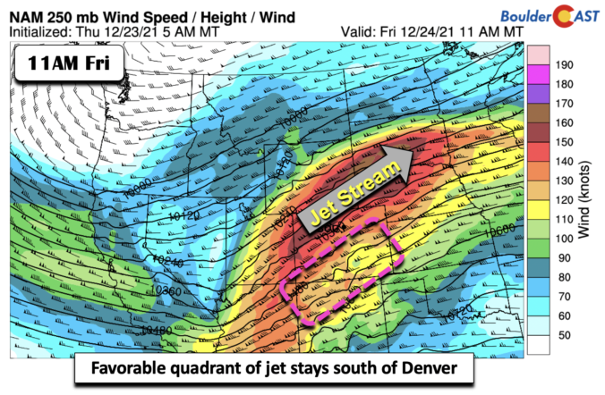
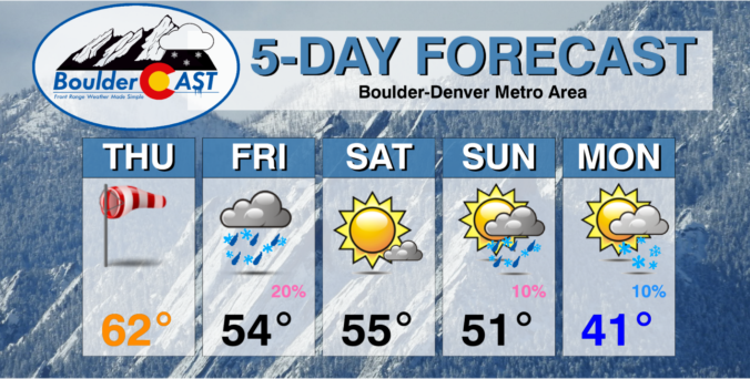
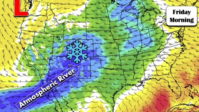
We review the climatology of White Christmas conditions in Boulder, including a discussion on why Christmas Day has the second highest occurrence of snow on ground out of the entire year. We also discuss the upcoming pattern shift which will favor widespread snowfall in the Mountains and maybe a little white stuff in Boulder, too.
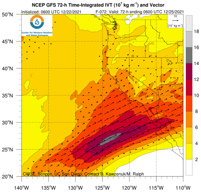
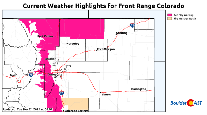
Temperatures will remain well above average throughout the week as the Front Range remains under favorable downslope warming. Gusty winds may be possible at times given this setup but overall a pleasant week lies ahead. Heavy mountain snow is expected by the end of the week with a strong and moisture-rich storm system. Read on to find out if there are any snow chances in the works for the lower elevations as well.

Live View of Boulder

Current Conditions

Live Radar

Latest Smoke Forecast

Recent Premium Posts

BoulderCAST Daily – Sat 10/10/26 | Mild Temperatures Continue
🌤️ Continued mild this weekend: Highs remain in the low to mid-80s, still …
BoulderCAST Daily – Fri 10/09/26 | Mild and Quiet Weather Through the Weekend
🔥 Record October heat: Highs may approach record highs today in the middle …
This Weekend in Colorado Weather: 80s Continue With a Big Western Storm Brewing, But Colorado’s Role Next Week Remains Unclear
🌤️ Summer Preview Continues: Warm and dry weather hangs on through the weekend …
3-Day Forecast

Trending Content



© 2026 Front Range Weather, LLC