



Page 251 of 586

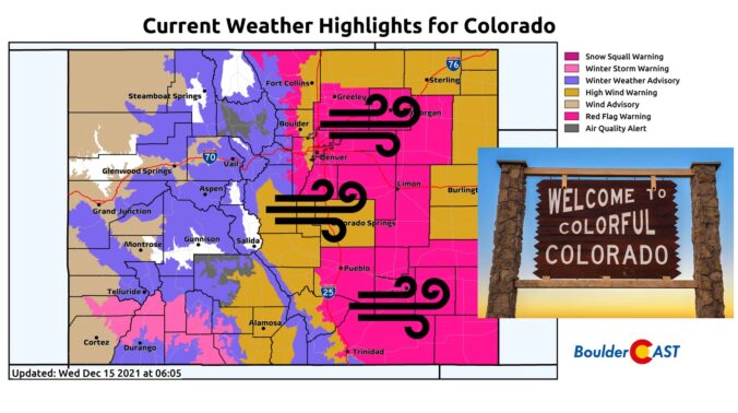
Things are about to start rocking and rolling across the Front Range as a potent storm system rapidly races across Colorado early this morning. Here’s the latest update on the timing of everything, where the snow squall is headed, potential snow amounts, and the all-important wind speed outlook.
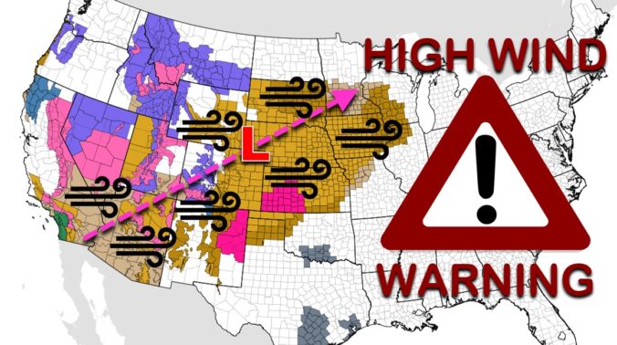
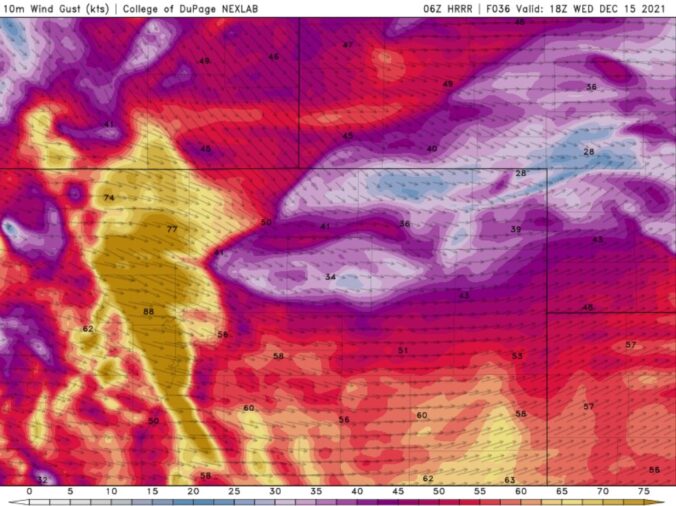
Batten down the hatches! A significant and potentially historic wind event is about to unfold across the Front Range on Wednesday with gusts reaching up to 100 MPH. A band of heavy snow will also race across the state during the morning hours creating dangerous travel, especially in the Mountains. Let’s review the setup, the timing of the snow and strongest winds, and the potential snow amounts and impacts across the area.

Live View of Boulder

Current Conditions

Live Radar

Latest Smoke Forecast

Recent Premium Posts

BoulderCAST Daily – Sat 10/10/26 | Mild Temperatures Continue
🌤️ Continued mild this weekend: Highs remain in the low to mid-80s, still …
BoulderCAST Daily – Fri 10/09/26 | Mild and Quiet Weather Through the Weekend
🔥 Record October heat: Highs may approach record highs today in the middle …
This Weekend in Colorado Weather: 80s Continue With a Big Western Storm Brewing, But Colorado’s Role Next Week Remains Unclear
🌤️ Summer Preview Continues: Warm and dry weather hangs on through the weekend …
3-Day Forecast

Trending Content



© 2026 Front Range Weather, LLC