



Page 248 of 586
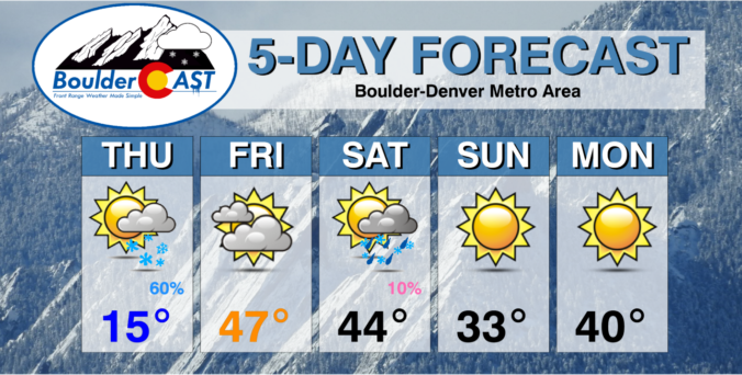

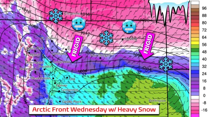
More snow is on the way to the Front Range for midweek, but it comes with strong winds beforehand. An Arctic front will slam the area on Wednesday bringing a rapid drop in temperatures alongside some moderate to heavy bands of snow across the entire area. We discuss how strong the winds will be, when the frigid airmass and snow will arrive, and how much snow will pile up.
Premium Storm Update (1/5/22 7:00AM): We do a final check on the latest model runs and confirm that the rift in outcomes still exists. We give our final thoughts on the storm and how the model disagreement plays into forecast snow amounts . READ HERE.
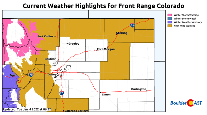
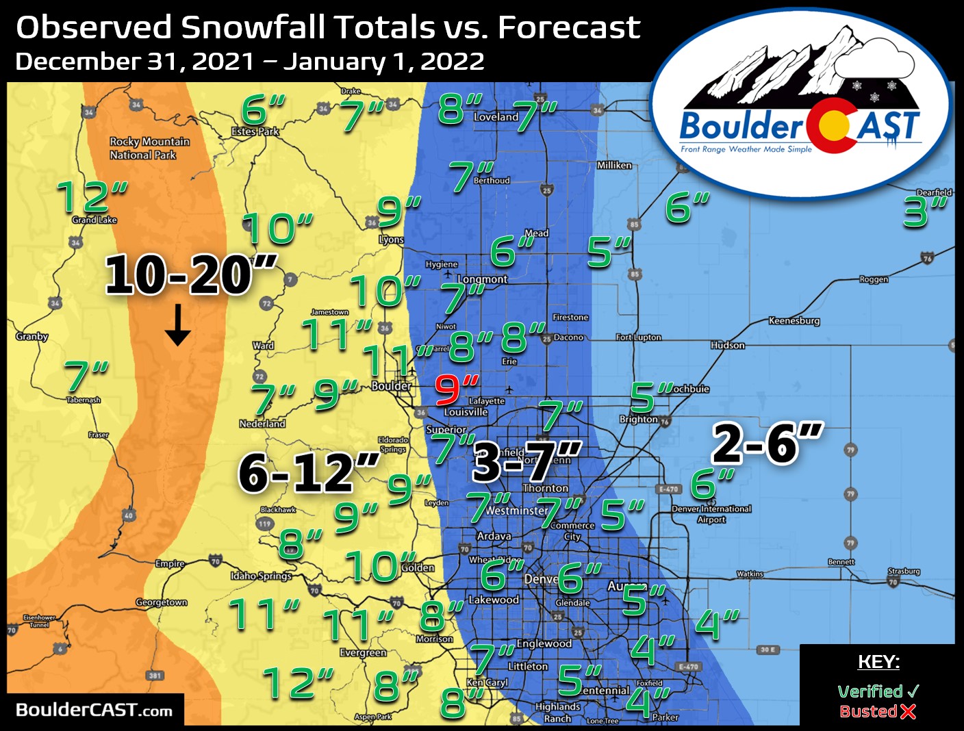
Happy New Year! After a welcomed snowstorm to end 2021, 2022 starts out somewhat quiet with temperatures close to seasonal normals. That, however, changes abruptly come Tuesday with another windy day followed by unsettled, cold, and wintry conditions beginning midweek. Our next snow event is taking shape for Wednesday evening into Thursday favoring potential banded snowfall, though it may end up too far north. We discuss all of this, as well as when we might expect to see warmer weather return.

December 2021 was another extremely warm and dry month for the Front Range which ultimately contributed to the Marshall Fire tragedy. Here’s a quick and colorful graphical recap of our weather during December and how it relates to climatology.


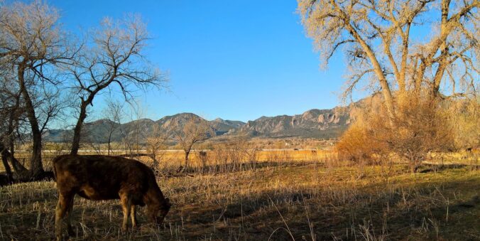
Live View of Boulder

Current Conditions

Live Radar

Latest Smoke Forecast

Recent Premium Posts

BoulderCAST Daily – Sat 10/10/26 | Mild Temperatures Continue
🌤️ Continued mild this weekend: Highs remain in the low to mid-80s, still …
BoulderCAST Daily – Fri 10/09/26 | Mild and Quiet Weather Through the Weekend
🔥 Record October heat: Highs may approach record highs today in the middle …
This Weekend in Colorado Weather: 80s Continue With a Big Western Storm Brewing, But Colorado’s Role Next Week Remains Unclear
🌤️ Summer Preview Continues: Warm and dry weather hangs on through the weekend …
3-Day Forecast

Trending Content



© 2026 Front Range Weather, LLC
You must be logged in to post a comment.