



Page 191 of 586

⦁❶⦁ A mountain wave will lead to widespread gusty winds today, strongest in and near the Foothills in excess of 50 MPH
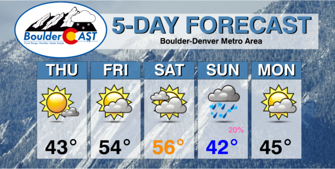
⦁❷⦁ Mostly sunny on Tuesday with highs in the middle 50s
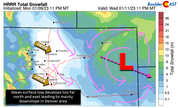
⦁❸⦁ A storm system races across the state on Wednesday, but develops in an unfavorable location too far north and east for Denver — snow chances are not great
⦁❹⦁ Much cooler on Wednesday in the 30s with a slight chance of snow showers — 0 to 1″ of accumulation possible on the grassy surfaces
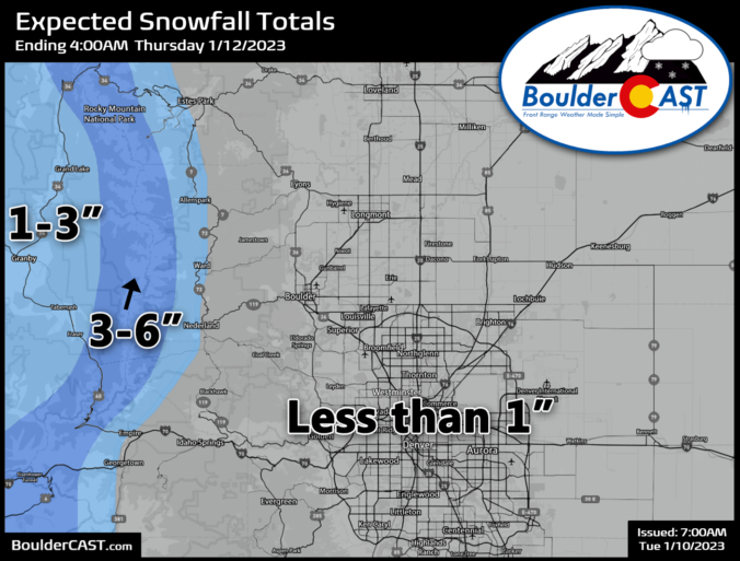
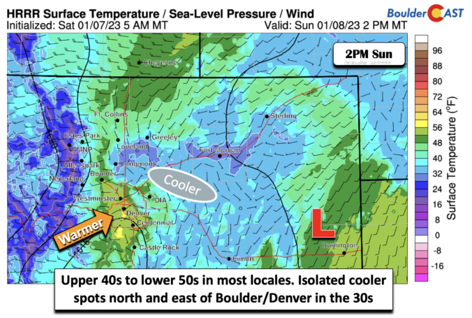
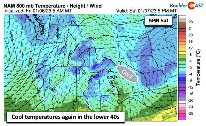
Following a weekend of quiet weather, the week ahead will continue that trend of near normal temperatures under downslope flow — at least for a few more days. The Mountains will see two waves of snowfall Monday through Wednesday with more than a foot expected in some ranges and ski resorts. As for the Plains, a midweek system will produce a period of light snowfall as well, but only with low-end accumulations expected alongside cooler temperatures.

Live View of Boulder

Current Conditions

Live Radar

Latest Smoke Forecast

Recent Premium Posts

BoulderCAST Daily – Tue 10/06/26 | October Heatwave Keeps Its Grip on the Front Range All Week Long
🔥 Record October heat — Boulder hit 89°F yesterday (just shy of the …
BoulderCAST Daily – Sun 10/04/26 | The Persistent 80s and Continuation of Summer-Like Temperatures
🌡️August-like temperatures: Temperatures hover in the 80s throughout the upcoming week, prolonging the …
BoulderCAST Daily – Sat 10/03/26 | Quiet and Mild in Colorado but Active in the Tropics
☀️ Quiet and dry weather: Highs in the 80s continue through nearly the …
3-Day Forecast

Trending Content



© 2026 Front Range Weather, LLC