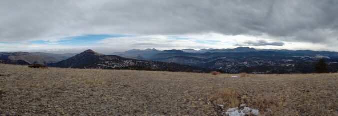
Here’s a quick and colorful rundown of our weather during January 2021 and how it relates to climatology.
Category: Winter Weather (Page 75 of 139)
These posts contain some discussion of the white stuff, whether it be mountain snow pack or a Front Range snowstorm.

A strong jet streak moved across Colorado on the evening of February 3rd with a heavy band of jet-forced snow clipping only the far south and eastern portions of the Denver Metro area. Let’s take a look at the totals.
Jet-forced snow bands could clip southern Denver this evening, little to no snow expected in Boulder
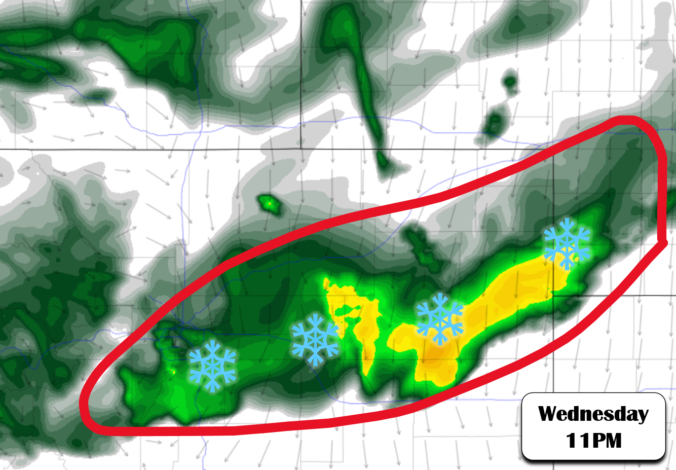
A strong storm system will move into Colorado during the day on Wednesday producing heavy snow in the Mountains. It will then kick eastward across the Denver Metro area Wednesday evening and night with a chance of rain changing to snow. We discuss the timing, amounts and provide our snowfall forecast map. Let’s take a look!
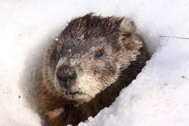
⦁❶⦁ Despite Phil’s wintery prediction earlier this morning, our temperatures will soar into the 60’s today and tomorrow
⦁❷⦁ A quick-hitting trough will bring a chance of snow to the Front Range Wednesday night
⦁❸⦁ Even with decent lift and a potent jet core overhead, downslope looks to be too much to overcome northwest of Denver with this system
⦁❹⦁ Expected accumulations are minimal, but as always forecasting jet snow is tricky so stay tuned!
A rather benign and warm stretch will kick off the month of February. However, it will turn sharply colder with chances of snow late in the week and for the upcoming weekend. Read on for more details.

This week’s snow event, while certainly welcomed, is not nearly enough not help the ongoing extreme drought across the entire state of Colorado. With a dry stretch shaping up through the weekend ahead, Boulder will most likely polish off January with its 7th consecutive month of below normal precipitation. We recap the recent “snowstorm”, discuss the current state of the drought, update you on the evolving La Niña, and provide our prediction for what lies ahead the rest of winter.
Winter weather returns to the entire Front Range Monday and Tuesday with light snow on the table for the area. We discuss factors contributing to the early week snow and provide our snowfall forecast map. By mid-week, the pattern will shift abruptly and we could be talking 60 degrees come Friday. Read on for our complete outlook of this week’s weather.
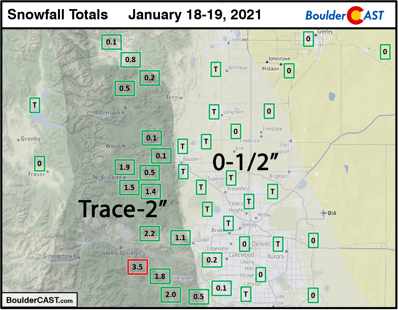
A few light snow showers impacted the Denver Metro area on Martin Luther King Jr Day afternoon and into the overnight. Only the very far southwestern suburbs had any snow stick. Boulder and Denver both reported just a trace of snow. A few inches were observed in the Foothills of Boulder and Jefferson Counties.
Shown below is our snowfall forecast map with actual storm totals overlaid in boxes. Green boxes indicate that our forecast verified to within one inch of the observed snowfall. Red did not.

Live View of Boulder

Current Conditions

Live Radar

Recent Premium Posts

This Weekend in Colorado Weather: Early-Season Heat Ramps Up — First 90s of the Year on the Horizon
🌬️ West–northwest flow Thursday supports high‑based convection with gusts to 35 MPH; virga …
BoulderCAST Daily – Wed 06/03/26 | Scattered P.M. storms again as moisture peaks for the week
🌬️ Weak westerly flow aloft today with no major synoptic features nearby; only …
BoulderCAST Daily – Tue 06/02/26 | Storms Reload This Afternoon, But With Noticeably Less Bite
❄️ Monday delivered lots of hail to northeast Colorado, with one supercell tracking …
3-Day Forecast

Trending Content

© 2026 Front Range Weather, LLC
You must be logged in to post a comment.