


Category: Winter Weather (Page 107 of 161)
These posts contain some discussion of the white stuff, whether it be mountain snow pack or a Front Range snowstorm.

We’re not going to beat around the bush. A complicated forecast is developing for the next several days that will bring two different snowstorms to the Front Range intermingled with potentially the coldest airmass ever to take hold of northern Colorado during the month of October. In this forecast update, we primarily discuss the first part of the storm that will produce snow across the area Sunday morning into Monday morning.
UPDATE (7:00 PM Sat 10/26/19): Added our official snowfall forecast map to the end of the post!
PREMIUM UPDATE (3:00 PM Sun 10/27/19): Read HERE.

As advertised, Wednesday night’s winter storm was a quick-mover! From the first snowflakes to the last ones, only about eight hours elapsed as the tightly-wound storm passed across Colorado. What it lacked for in duration, it made up for in intensity…in some areas. We take a look at the highly-variable snow totals from across the Boulder and Denver area and provide a brief post-mortem on the now-departing storm system. Continue reading

We provide our final thoughts on the snow event taking shape for Wednesday evening and night, including a timeline for the storm and our snowfall forecast map.
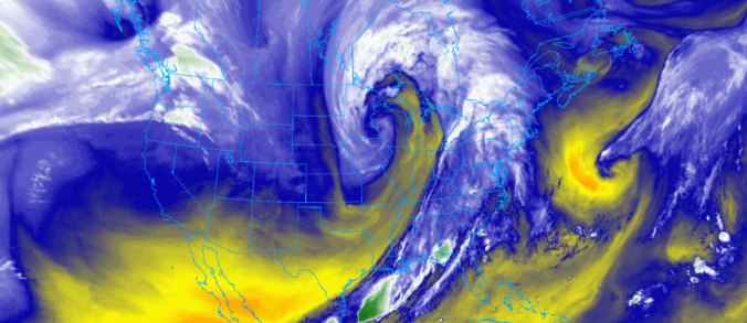
Snow is on the way as a speedy winter storm is set to impact the area Wednesday evening and night. We discuss the tricky set-up that is making for a difficult snow forecast in some areas. Of course, we do give our initial expectations for snowfall amounts as well!

The week starts out breezy and chilly, but warms up the next few days before a snow event comes together late Wednesday into Thursday. We give our early thoughts on the snow chance and discuss the pleasant end to the week thereafter.
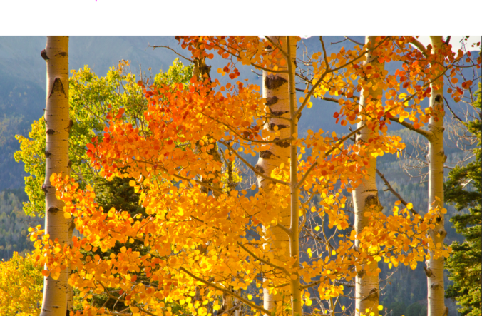
The week ahead will be mainly dry, but temperatures will be up one day and down the next. We’re also watching a series of Pacific storm systems late in the week that will bring snow to the Mountains and possibly the Plains as well over the weekend.
Live Radar

Trending Content


Recent Premium Posts

BoulderCAST Daily – Tue 11/10/26 | Clouds Increase Today, But Colorado’s Dry Pattern Rolls On
🌤️ A Few More Clouds Today – Mountain wave clouds are developing along …
BoulderCAST Daily – Sun 11/08/26 | Mild November Weather Continues, Even With A Cold Front Midweek
☀️ Sunny and warm for early November – Temperatures in the middle to …
BoulderCAST Daily – Sat 11/07/26 | A Pleasant Weekend With Dry Weather For a While…
☀️ Sunny and Pleasant – Highs in the lower 60s this afternoon trend …
© 2026 Front Range Weather, LLC