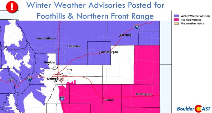
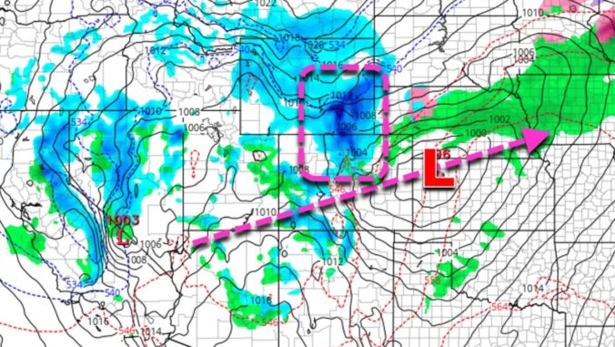
Mother Nature just won’t cut us a break in 2022! Can you believe that another Arctic blast is headed our way with more snow and even colder temperatures. The Arctic front arrives before dawn on Wednesday and will be followed by an extended period of snow. Snow could be heavy at times Wednesday afternoon into the evening, and may not fully wrap up until Thursday afternoon. We discuss the setup, timing, and likely snowfall amounts as another frigid airmass ominously descends on the Front Range.
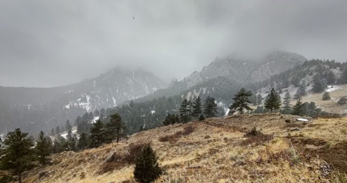
Premium Storm Update (3/9/22 7:00AM): Overnight model runs have further confirmed the chance for scattered heavy snow bands to develop Wednesday afternoon and evening. We discuss the latest on the storm as snow has already begun falling from Boulder County northward. READ HERE


You must be logged in to post a comment.