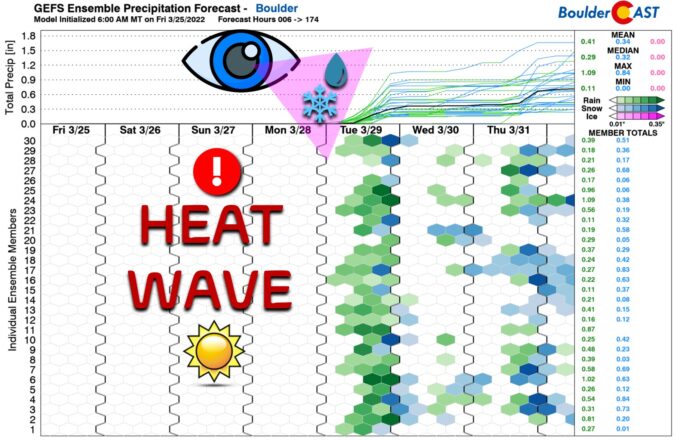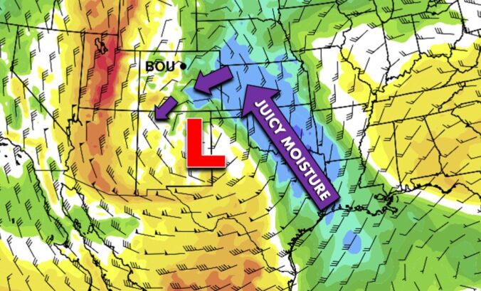
⦁❶⦁ A wet storm system will spread rain, thunder and eventually some snow across the area today into tonight
⦁❷⦁ After highs in the 50s, a strong cold front blows through by early evening with tumbling temperatures and blustery northeast winds to 40 MPH
⦁❸⦁ Rain will change to snow during the mid to late evening, with that transition happening earlier in the Foothills and Palmer Divide
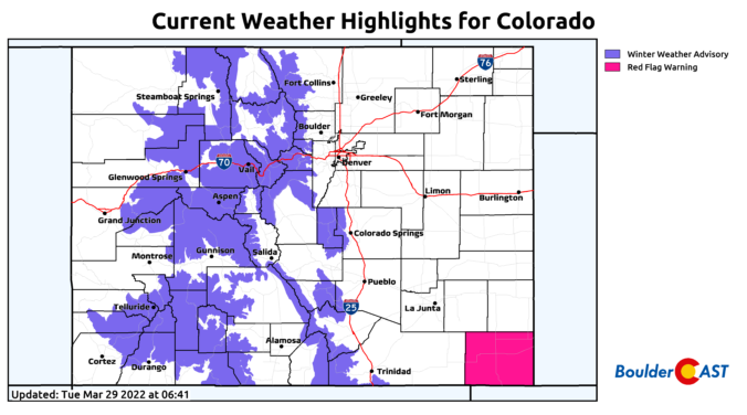
⦁❹⦁ Generally less than 1″ of accumulation is expected across the lower elevations, but several inches in the higher terrain