


Category: Forecast (Page 53 of 198)

The work week ahead will feature veritably pleasant weather across the Front Range with warm temperatures and dry conditions persisting through Friday, including at least one day of potential record highs. However, things will take a drastic wintry turn for the upcoming weekend with accumulating snow highly likely in the days leading up the Christmas. Despite heaps of uncertainty, we also discuss the latest details for the evolving winter storm set to cause travel impacts across the broader High Plains region during the busy holiday weekend ahead.

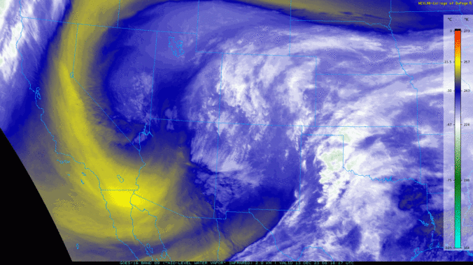
Conditions early Wednesday morning are a bit of a mix bag out there with freezing fog, freezing drizzle, and light snow ongoing across portions of the Metro area. Things will remain mostly dry but chilly as the day progresses, but another more widespread round of light snow is expected to develop for the evening commute Wednesday. Accumulations will generally be light and will favor areas south and southeast of Denver. We’ve got the latest details and our snowfall forecast map for you.


A shortwave trough from the Pacific Northwest will track into the Desert Southwest over the next few days and be a player for our weather through much of the week ahead. A cold front moving south Monday night will bring a threat of a wintry mix of freezing drizzle, snow and rain into early Tuesday, with some slick spots possible in Boulder and Fort Collins. Afterwards, the system is forecast to remain south of us the rest of the week but could bring a slight chance of snow for the Front Range Plains Wednesday or Thursday — but that chance is slim. Otherwise, this week will be mainly dry with below normal temperatures preceding a warming trend heading into the weekend. The outlook for a “white” Christmas is also not looking so good. Read on for more details.
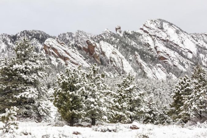
A dangerous downslope windstorm is about to unfold in the Foothills to the west on Thursday with gusts up to 90 MPH. It will be warm and gusty across the lower elevations as well, with a chance for very strong gusts in the usual windy spots like Boulder. A trough will move into the area on Friday turning our temperatures much colder with several chances for light snow. Read on as we discuss those powerful winds and the incoming snowfall.
Live Radar

Recent Premium Posts

BoulderCAST Daily – Tue 11/10/26 | Clouds Increase Today, But Colorado’s Dry Pattern Rolls On
🌤️ A Few More Clouds Today – Mountain wave clouds are developing along …
BoulderCAST Daily – Sun 11/08/26 | Mild November Weather Continues, Even With A Cold Front Midweek
☀️ Sunny and warm for early November – Temperatures in the middle to …
BoulderCAST Daily – Sat 11/07/26 | A Pleasant Weekend With Dry Weather For a While…
☀️ Sunny and Pleasant – Highs in the lower 60s this afternoon trend …
Trending Content


© 2026 Front Range Weather, LLC