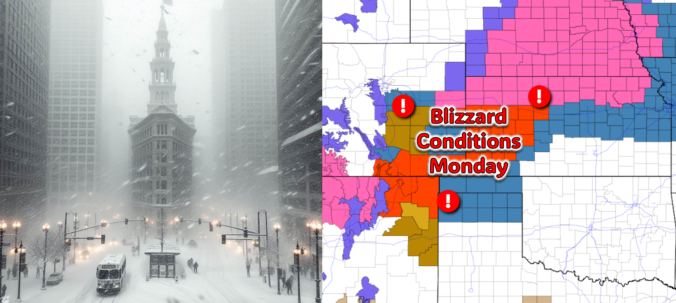
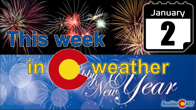
All is quiet on Sunday, but that will quickly change after midnight Sunday night! The third southern-track storm system in five days will take a more favorable track for the Front Range, leading to a period of snow and gusty winds in our area early Monday. While there is still some uncertainty in the exact outcome, we discuss the latest forecast including potential snow amounts and where blizzard conditions will unfold on Monday.
Category: Forecast (Page 41 of 169)
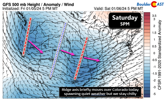

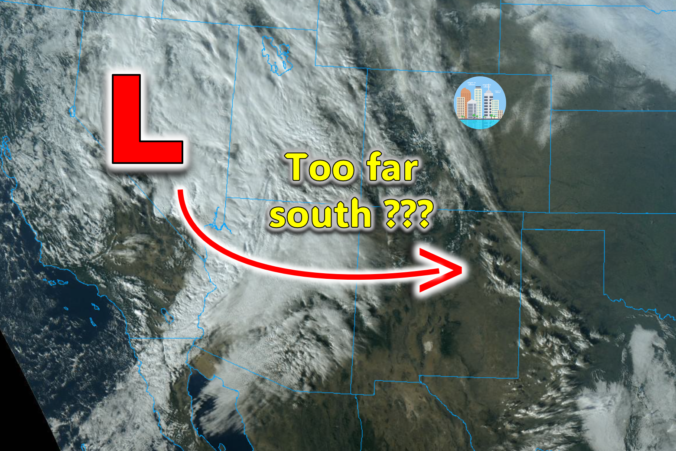
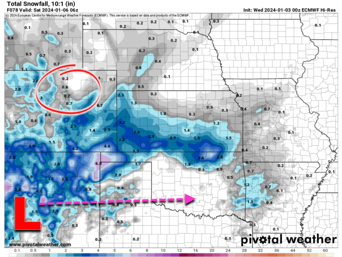
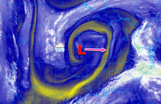
The weather pattern is shifting as we speak across the West and with several southern-track storms set to impact our area in the coming week or so. The first arrives on Thursday, but unfortunately it is coming in a bit too far south with things largely bypassing the Denver Metro area. Still there will be some amount of wintry weather to end the week. Let’s take a look at the latest forecast for not only the storm knocking on the door, but the next one gearing up for late in the weekend.
El Niño has yet to deliver any major storms to the Front Range this winter season but that could change heading into the first week or two of January as a more active southern storm track takes shape across western North America. Several systems will bring snow to Colorado, though the focus appears to be across the southern tier of the state rather than the Front Range. We discuss the notably variable forecast for the week ahead including several chances for snow in the extended.
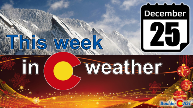
The Christmas holiday week starts off on the cold to chilly side as an area of low pressure continues to impact us from the central United States. There will be another chance of snow late tonight on Christmas into Tuesday, but only light accumulations are expected south and southeast of Denver. However, blizzard conditions are set to unfold across far eastern Colorado with travel eastward becoming impossible at times Monday night into Wednesday. A trend towards drier and warmer weather is in-store for the latter part of the week and to close out 2023. Read on for the latest details.

Live View of Boulder

Current Conditions

Live Radar

Latest Smoke Forecast

Recent Premium Posts

BoulderCAST Daily – Tue 07/14/26 | The Front Range Continues to Bake Under Expansive Ridge
🔥 Heat streak continues — Boulder hit 97°F for the third time in …
BoulderCAST Daily – Sun 07/12/26 | Hot weather for a good chunk of the coming week
🥵 🔥 Heat for a good chunk of the week: Upper 90s through …
BoulderCAST Daily – Sat 07/11/26 | Here comes the heat!
🥵 Heat start today: Upper 90s start today and continue well into next …
3-Day Forecast

Trending Content

© 2026 Front Range Weather, LLC