


By the pace of the traffic tonight, many folks are not aware of the surrounding danger from freezing fog and mist that has already begun across much of the region. We give our thoughts on what is now our second ice event in the last seven days.
Tag: Front Range (Page 5 of 23)
We begin the week under the protective influence of a mid-level ridge of high pressure. With this, the Front Range will be (mostly) dry and at times very warm through the week. Read on for our short and to-the-point weekly outlook.
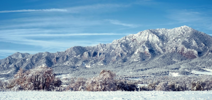
As one would expect during the month of January, our driest month of the year, this week will be relatively quiet across the Front Range. We’re tracking continued Mountain snowfall early in the week, and with a large trough moving in, cooler temperatures will linger statewide through the weekend. Continue reading for our complete weekly outlook.
We start this week on the cold and snowy side with an area of low pressure off to our east in Kansas. However, a welcomed ridge of high pressure will take over through much of the remainder of the week and lead to a really nice warm-up. We’re also tracking the potential for a more active weather pattern towards the weekend. Read on for all the details of the weather week ahead.
Compared to last week, the week ahead will feel like spring has sprung, at least if you stay below about 9,000 feet! Southwesterly flow will produce heavy mountain snow through Wednesday, alongside moderating temperatures for the lower elevations. We’re also tracking the potential for a couple nasty wind storms. Read on for our complete outlook of the upcoming week.

Our weekly outlook mentioned that it would be a cold and snowy week. We cautioned that the weather models were not in good agreement on much of anything, and therefore were hesitant to believe them, despite the indication of a couple potentially impactful snow events. Today that has changed, with all the major models jumping on-board for a significant snow storm for the region beginning Wednesday afternoon and continuing through the day Thursday. We provide an initial update on what to expect for the second half of the week during what will likely be our biggest snowfall this winter season.

Following month after month of dry and warm weather, December finally turned the tide and brought colder and snowier conditions to the region. Will January continue the trend? Read on as we examine Boulder’s climatology and consider the current state of the atmosphere to give our outlook for the next month.
Live Radar

Trending Content


© 2026 Front Range Weather, LLC