



Page 244 of 586
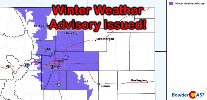

It’s already been Boulder’s snowiest January since 2014, but we’ll add to it on Thursday with another round of light snow moving into the area. We discuss the setup, timing, commute impacts and the expected snowfall amounts for the Front Range.
Premium Storm Update (1/27/22 6:00AM): We do a final check of the latest model runs which have all come into excellent agreement as snow begins to fall across the northern Front Range. We also discuss why some models were coming in lower yesterday. READ HERE
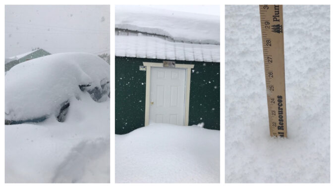
Moderate to heavy snow arrived to the Denver Metro area right on-schedule Tuesday making for a messy morning commute. While most of us received our allocated amount of snowfall, localized ridiculous totals were observed in far eastern Colorado on Tuesday — up to 30″ in some cases near the Kansas border. This region was expecting much less snow than this which created a dangerous situation for livestock and on the roadways. We review the storm totals and discuss why this historic snow fell in that region.

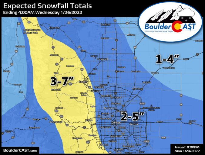
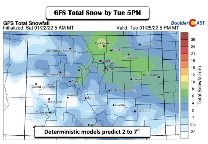
The week begins quiet on Monday, but things turn notably snowy and much colder by Tuesday. We’re tracking a winter storm that will bring accumulating snow to all of eastern Colorado Tuesday morning into the afternoon hours with a dicey morning commute all but guaranteed. We discuss the timing of the storm and expected snowfall amounts across the region. Further out, another round of snow could accompany a weak system on Thursday, but that is still evolving. Read on for all the details.
Premium Storm Update (1/25/22 6:00AM): We do a final check of the latest model runs and how they compare to what is actively occurring across northeast Colorado early Tuesday morning. We give our final thoughts on the storm and discuss the next chance of light snow waiting in the wings for Thursday. READ HERE


Live View of Boulder

Current Conditions

Live Radar

Latest Smoke Forecast

Recent Premium Posts

BoulderCAST Daily – Fri 10/09/26 | Mild and Quiet Weather Through the Weekend
🔥 Record October heat: Highs may approach record highs today in the middle …
This Weekend in Colorado Weather: 80s Continue With a Big Western Storm Brewing, But Colorado’s Role Next Week Remains Unclear
🌤️ Summer Preview Continues: Warm and dry weather hangs on through the weekend …
BoulderCAST Daily – Wed 10/07/26 | Colorado Remains Stuck in a Remarkably Warm October Pattern
🔥 Record October heat: Boulder hit a record 89° on Tuesday, Denver tied …
3-Day Forecast

Trending Content



© 2026 Front Range Weather, LLC