



Page 139 of 585
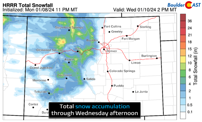
Breezy conditions and chilly temperatures will kick off the week behind a departing winter storm which brought a thin blanket of snow to the Metro area last night. Highs below freezing on Monday will trend slightly warmer in the coming days, but with gusty winds remaining. The tail-end of the week will turn more active with a few chances at light snowfall. There are also signs in the extended that an Arctic airmass will ooze into the region during the upcoming weekend turning things even colder for us. Read on for more details
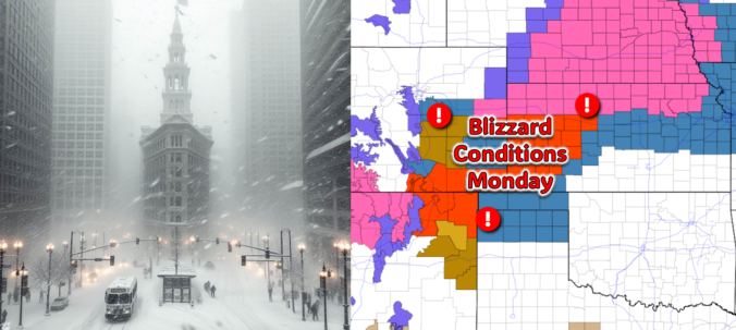
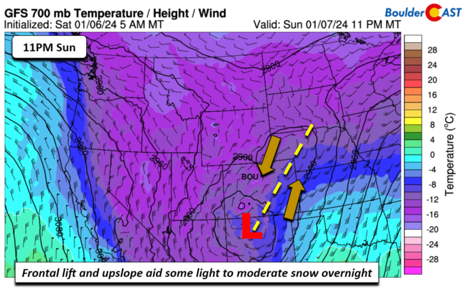
All is quiet on Sunday, but that will quickly change after midnight Sunday night! The third southern-track storm system in five days will take a more favorable track for the Front Range, leading to a period of snow and gusty winds in our area early Monday. While there is still some uncertainty in the exact outcome, we discuss the latest forecast including potential snow amounts and where blizzard conditions will unfold on Monday.

December 2023 was yet another warm month in Boulder, the same fate which has befallen four out of the last five months. Despite the lack of appreciable snow events, precipitation ended just a hair above normal for the month since December is typically one of our driest months of the year. Here’s a quick and colorful graphical recap of our weather during December and how it relates to climatology.

Live View of Boulder

Current Conditions

Live Radar

Latest Smoke Forecast

Recent Premium Posts

BoulderCAST Daily – Sun 10/04/26 | The Persistent 80s and Continuation of Summer-Like Temperatures
🌡️August-like temperatures: Temperatures hover in the 80s throughout the upcoming week, prolonging the …
BoulderCAST Daily – Sat 10/03/26 | Quiet and Mild in Colorado but Active in the Tropics
☀️ Quiet and dry weather: Highs in the 80s continue through nearly the …
BoulderCAST Daily – Fri 10/02/26 | A Mild Weekend Across the Front Range
☀️ Quiet and dry weather: A ridge of high pressure will promote dry …
3-Day Forecast

Trending Content



© 2026 Front Range Weather, LLC