


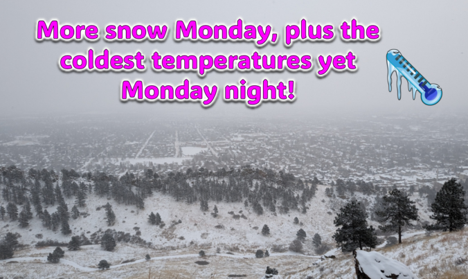
Just when you might have thought things were turning warmer, a secondary Arctic front and more snow will arrive to the Front Range on Monday. Additional snow accumulations and slick travel are expected during the day with the coldest temperatures we’ve seen yet developing Monday night. Let’s take a look at the latest as the ongoing Arctic blast delivers one final blow on MLK Day!

Page 138 of 585
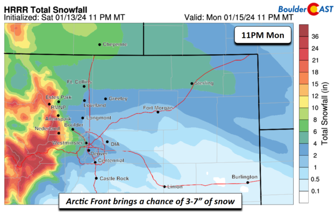
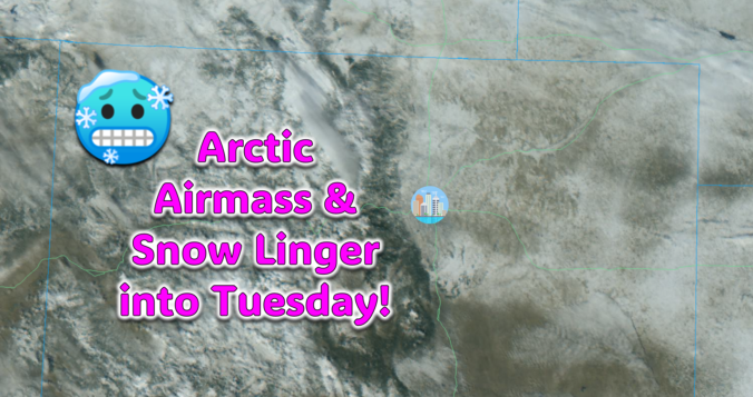
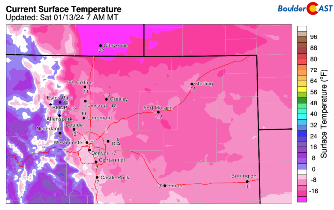
The Arctic air has arrived in the Front Range and it’s here to stay for several more days. We take a quick look at the overnight snow totals, the record low temperatures set already Saturday morning, and update you on the forecast for the rest of the weekend. More accumulating snow and even colder temperatures are on the way!
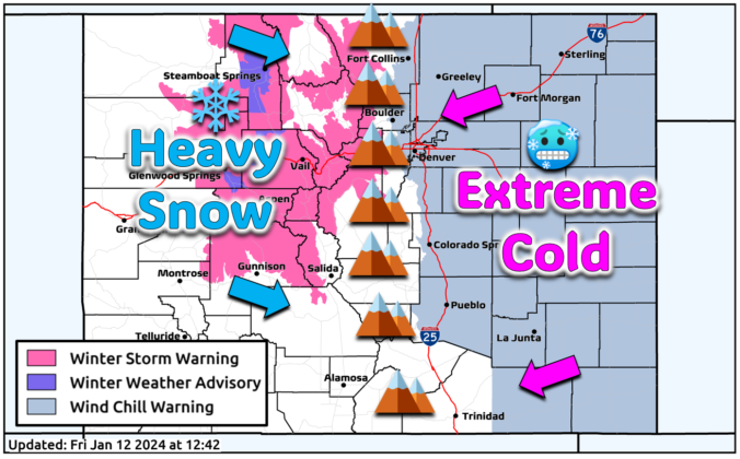
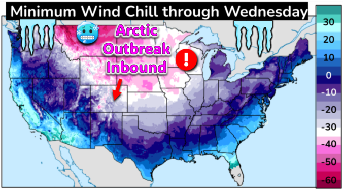
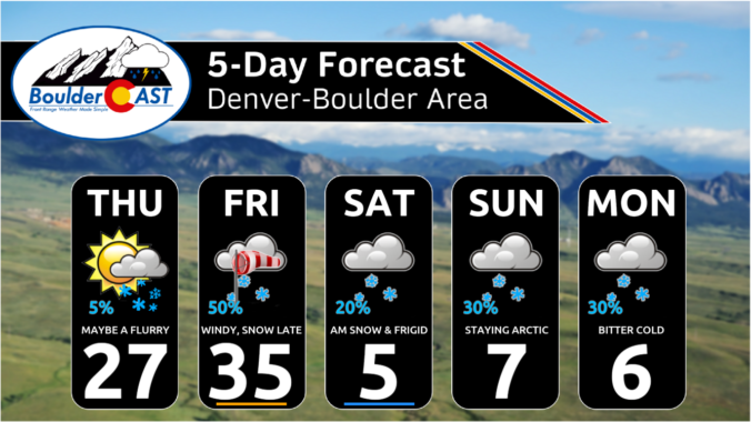
The most significant Arctic outbreak for the Front Range since 2022 is brewing! The initial cold front will blast through Friday early evening ushering in sub-zero wind chills which will persist all the way into at least Tuesday morning. While the extreme cold is all but certain at this point, the snowfall potential is a bit trickier of a forecast as there will be three separate chances for snow mixed into the polar plunge. However, the Mountains will be getting absolutely showered in powder. Let’s take a look at bitter cold and snowy forecast heading into the MLK holiday weekend.


Live View of Boulder

Current Conditions

Live Radar

Latest Smoke Forecast

Recent Premium Posts

BoulderCAST Daily – Sun 10/04/26 | The Persistent 80s and Continuation of Summer-Like Temperatures
🌡️August-like temperatures: Temperatures hover in the 80s throughout the upcoming week, prolonging the …
BoulderCAST Daily – Sat 10/03/26 | Quiet and Mild in Colorado but Active in the Tropics
☀️ Quiet and dry weather: Highs in the 80s continue through nearly the …
BoulderCAST Daily – Fri 10/02/26 | A Mild Weekend Across the Front Range
☀️ Quiet and dry weather: A ridge of high pressure will promote dry …
3-Day Forecast

Trending Content



© 2026 Front Range Weather, LLC