



Page 135 of 585

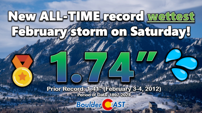
Well, our snowfall forecast for the sloppy weekend storm ended up being a tad off in many areas. Hopefully our in-depth discussions in the days leading up to the event highlighted that the exact outcome of this warmer-than-usual storm was highly uncertain. We first review the record-breaking precipitation and snowfall totals across the Front Range. Then we discuss what went wrong with the forecast and dive into the finer details of this implausible moisture-infused winter storm.
The first week of February starts off dry and mild as high pressure ridging and downslope flow will develop across the Front Range helping to chip away at the fresh, sloppy snowpack. A midweek system will favor mode cloud cover and winds, along with a low-end chance of rain or snow, though these will mostly be confined to the higher terrain. A better chance of snow and colder temperatures appears to come Friday or Saturday with most guidance suggesting a favorable storm track for our area. Read on as we discuss this and more in our weekly outlook.
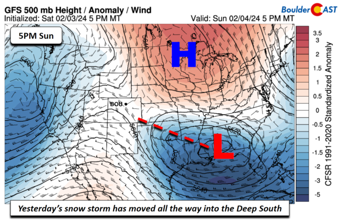

Rain and some snow have already begun across the Front Range, but as of writing Saturday morning, the exact outcome of the moisture-infused winter storm moving in now remains in question. We provide the latest forecast (nowcast?) for rain and snow unfolding now, including some minor adjustments to our snowfall forecast map and storm timeline. Brace for a soggy and snowy Saturday!
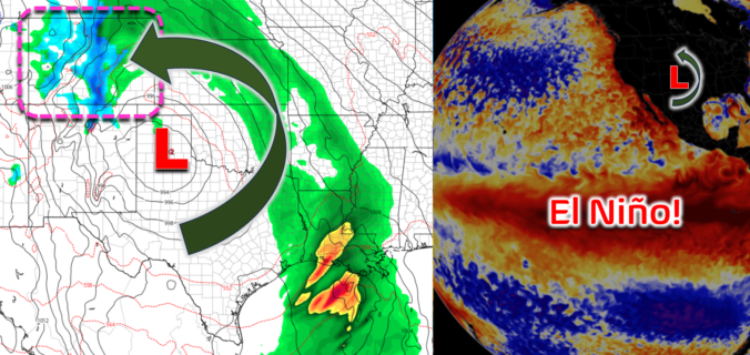
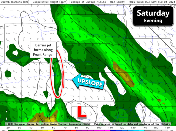
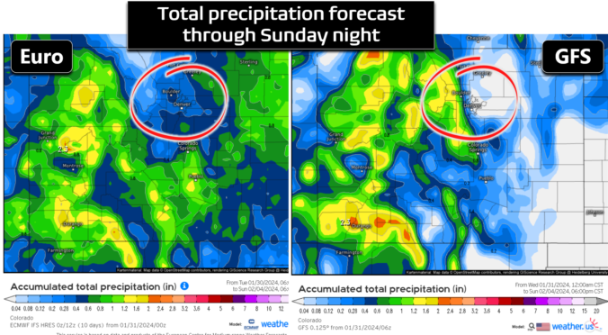
After five straight sixty-degree days with quiet weather, things will turn cooler and unsettled for the weekend ahead as a sloppy El Niño storm moves through bringing a mix bag of precipitation to the Front Range. While there is still plenty of uncertainty in the exact outcome for Boulder and Denver, we discuss the latest forecast details including when the rain will start (including some rumbles of thunder), when and where it will change over to snow, which ski resorts will be rolling in powder this weekend, and most importantly — the expected moisture and snowfall amounts across the Front Range area. Let’s dive in!

Live View of Boulder

Current Conditions

Live Radar

Latest Smoke Forecast

Recent Premium Posts

BoulderCAST Daily – Sat 10/03/26 | Quiet and Mild in Colorado but Active in the Tropics
☀️ Quiet and dry weather: Highs in the 80s continue through nearly the …
BoulderCAST Daily – Fri 10/02/26 | A Mild Weekend Across the Front Range
☀️ Quiet and dry weather: A ridge of high pressure will promote dry …
This Weekend in Colorado Weather: Autumn on Hold as Warm, Dry Pattern Dominates Early October
🌧️ Southern Colorado drenched, Front Range bone‑dry: The upper‑low parked in SE Colorado …
3-Day Forecast

Trending Content



© 2026 Front Range Weather, LLC