



Page 129 of 585
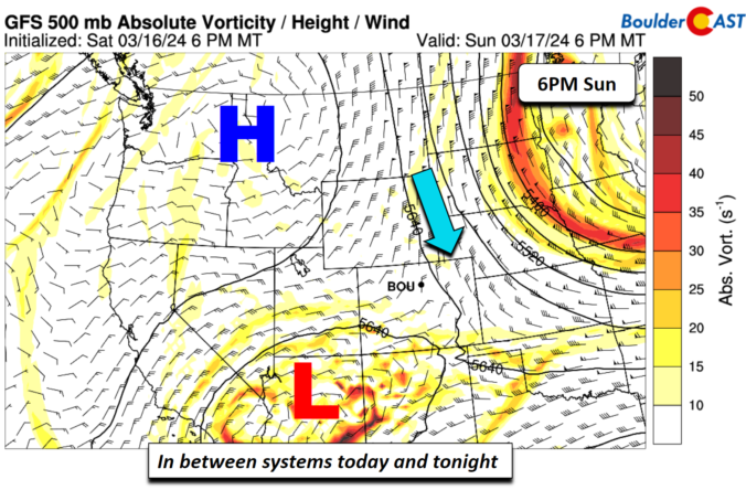
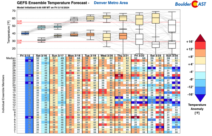
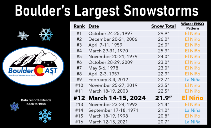
As promised, a well-advertised spring-like snowstorm delivered the goods to (almost) the entire Front Range this week with over four feet of snow falling in the Foothills and up to 2 feet across the lower elevations. We take a look back at this odd, moisture-infused winter storm, discussing how the difficult forecast evolved during the lead up and ultimately how much rain and snow pummeled the area.
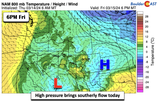
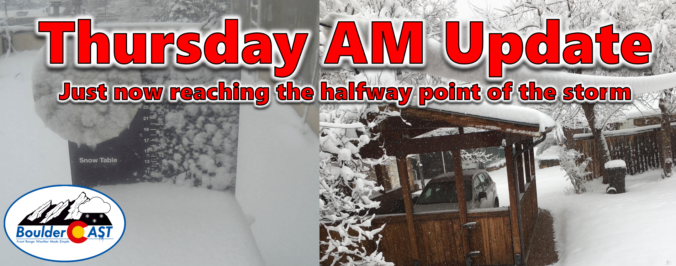
After a round of rain and thunderstorms Wednesday, everyone changed over to heavy snow Wednesday night with a dense blanket of sludge now covering the entire area as of Thursday morning. Though there will be a slight lull in the action for a few hours here, moderate to heavy snow is expected to redevelop soon with snow continuing non-stop into Friday morning. We are only now at approximately the halfway point of the storm. We take a look at how much snow has fallen already and discuss how much more is still to come!
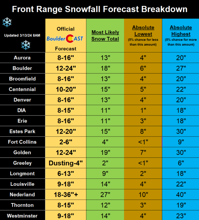
The overarching forecast remains on-track this morning as a significant and highly impactful snowstorm bears down on the Front Range. We review a wide gamut of the most recent model data, with trends suggesting a boom scenario is more likely than a bust. Travel will become extremely difficult (and in some areas of the Foothills, impossible) Wednesday night into Thursday night, with some power outages expected. We give our final thoughts on the impressive winter storm about to slam the Denver Metro area. Buckle up and stay safe!
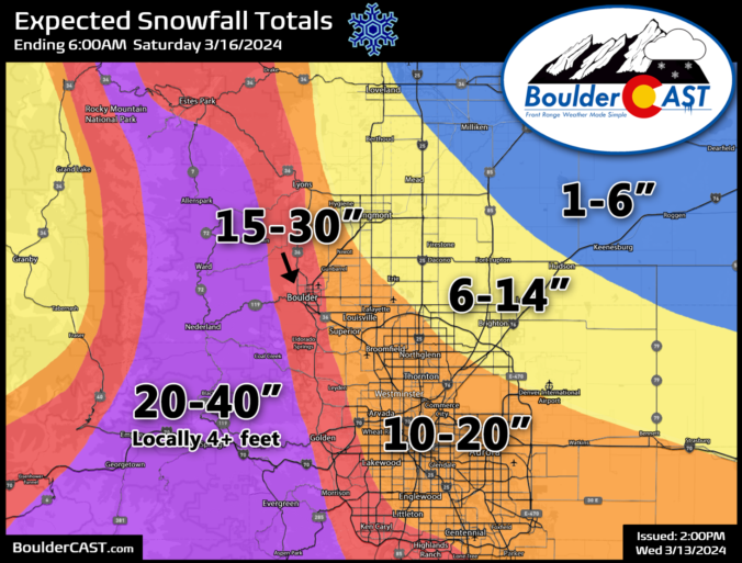
A high-impact, major El Niño snowstorm is about to unfold across the entire Front Range from late Wednesday into Friday. While we were a bit cautious of the eccentric model output over the last several days, all systems appear to be go for a significant, long-lasting dumping of heavy wet snow in the Denver Metro and nearby terrain. While there is still quite a range in the potential outcomes, we’ve seen enough to increase expected snowfall amounts across the board (again!). Read on as we sift through the latest model data and discuss the updated storm timeline and expected snowfall amounts. This one’s going to be a doozy!
Premium Storm Update (3/13/2024 8:00AM): The overarching forecast remains on-track as of Wednesday morning as a significant and highly impactful snowstorm bears down on the Front Range. Travel will become extremely difficult (and in some areas of the Foothills, impossible) Wednesday night into Thursday night, with some power outages expected. We wade through a wide gamut of the most recent model data, with trends suggesting a boom scenario is more likely than a bust. We also give our final thoughts on the impressive winter storm about to slam the Denver Metro area. READ HERE
Update (3/13/2024 3:00PM): The BOOM scenario has grown more favor with our team! As models continuing to trend upward on snow amounts, we’ve bumped up our official forecast totals a bit more. We’ve adjusted this entire post to be up to date with the latest information, including all graphics and discussion. BIG snow inbound! Be safe!
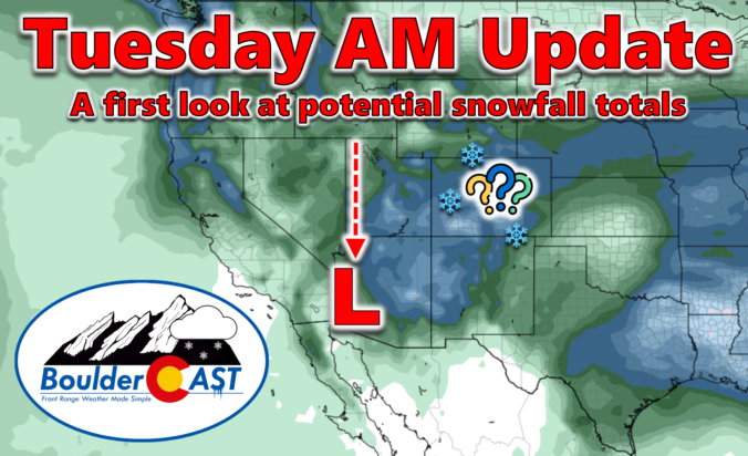
One last beautiful day will unfold across the area today before winter weather arrives to the Front Range Wednesday and sticks around into Friday. We provide the latest forecast details on the approaching winter storm, one which will have widespread significant travel impacts for the entire area. We also provide our preliminary snowfall forecast map. Spoiler alert: some areas could receive up to 30 inches of snow!

Live View of Boulder

Current Conditions

Live Radar

Latest Smoke Forecast

Recent Premium Posts

BoulderCAST Daily – Sat 10/03/26 | Quiet and Mild in Colorado but Active in the Tropics
☀️ Quiet and dry weather: Highs in the 80s continue through nearly the …
BoulderCAST Daily – Fri 10/02/26 | A Mild Weekend Across the Front Range
☀️ Quiet and dry weather: A ridge of high pressure will promote dry …
This Weekend in Colorado Weather: Autumn on Hold as Warm, Dry Pattern Dominates Early October
🌧️ Southern Colorado drenched, Front Range bone‑dry: The upper‑low parked in SE Colorado …
3-Day Forecast

Trending Content



© 2026 Front Range Weather, LLC