


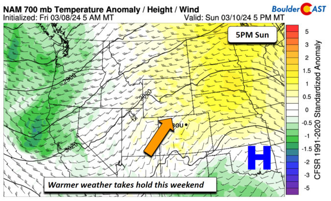
It will be business as usual the first two days of the week with 60-degree temperatures and dry conditions continuing. However, a major storm system will drop south into the Desert Southwest this week, with impacts expected in the Front Range Wednesday through Friday. All signs point to a significant dumping of upslope precipitation in our area from this storm, most of which will fall as heavy wet snow. There’s still a lot of uncertainty in this week’s forecast, but let’s discuss the latest developments in what could be a historic March winter storm for the Denver Metro area.

Page 130 of 585

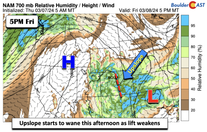
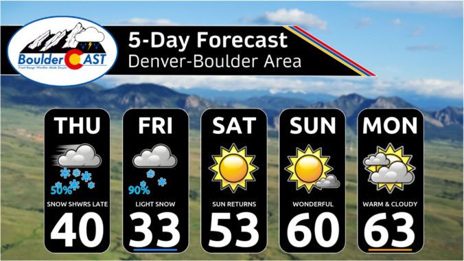
After a long, quiet stretch following last week’s snow squall, winter weather will return to the Front Range as a slow-moving but ultimately weak storm system impacts the area to end the work week. We discuss the long-duration of weak upslope about to unfold, the potential snowfall amounts across the area, and when travel will become slick.
Update (Thursday 3/7/24 7:00AM): We’ve now concerned that heavy snow the far eastern areas of Colorado on Thursday will reduce the amount of upslope/moisture that make it back westward into the Front Range. We’ve seen models trend downward in snow amounts slightly for our entire area, especially east of I-25. Thus, we’ve scaled back snow amounts slightly for the region. Please check our updated snowfall map, model forecast graphics, and storm impact timeline throughout this post. We talk about this last-minute shift and much more in Thursday morning’s Premium discussion HERE.


Live View of Boulder

Current Conditions

Live Radar

Latest Smoke Forecast

Recent Premium Posts

BoulderCAST Daily – Sat 10/03/26 | Quiet and Mild in Colorado but Active in the Tropics
☀️ Quiet and dry weather: Highs in the 80s continue through nearly the …
BoulderCAST Daily – Fri 10/02/26 | A Mild Weekend Across the Front Range
☀️ Quiet and dry weather: A ridge of high pressure will promote dry …
This Weekend in Colorado Weather: Autumn on Hold as Warm, Dry Pattern Dominates Early October
🌧️ Southern Colorado drenched, Front Range bone‑dry: The upper‑low parked in SE Colorado …
3-Day Forecast

Trending Content



© 2026 Front Range Weather, LLC