The week starts out on the cold side with light accumulating snow Monday into Monday night. We discuss the timing, amounts, and provide our snowfall forecast map. Beyond Monday, a series of troughs will remain across the western United States keeping below seasonal temperatures over much of Colorado, but providing little to no additional precipitation.
Category: Winter Weather (Page 79 of 139)
These posts contain some discussion of the white stuff, whether it be mountain snow pack or a Front Range snowstorm.
October 2020 checked most of the weather boxes, with record warmth, persistent drought, a dumping of snow, explosive wildfire growth, a dust storm, freezing drizzle, and historic cold. Here’s a quick and colorful rundown of our weather during October and how it relates to climatology.

November will commence with very warm and dry conditions across the Front Range as high pressure dominates our weather for yet another week. Afternoon temperatures each day will approach (but likely not exceed) record values. Changes begin to take shape Friday into the upcoming weekend as a strong and cold storm system drops out of western Canada. Initially this will lead to strong winds and high fire danger for Colorado, but snow may be in the works as well.
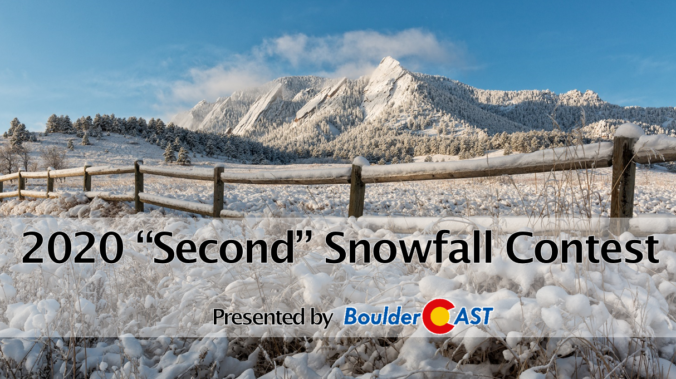
If you recall, Mother Nature threw a greasy wrench into our usual “First Snow” contest this year, delivering the earliest ever snowfall in Boulder’s history before we even announced the annual contest! But the show must go on, and this year predictions surrounded the date and amount of Boulder’s second snowfall of the season. With that having now come and gone this week, it’s time to announce the winners of the contest!
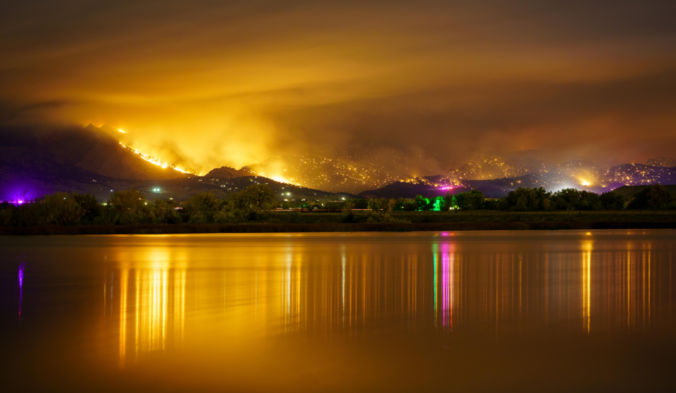
As the two largest wildfires in state history were burning across north-central Colorado this weekend, Mother Nature delivered big changes via an Arctic airmass and widespread snowfall. We take a look back at what was a mostly jet-driven snowfall event across the Front Range, go over the snowfall totals, the potential impact on the fire zones, and look ahead to warmer times.
After Sunday’s jet-forced snowstorm and shot of Arctic air, the atmosphere takes a “break” this week. We begin with record cold temperatures, but a pleasant warming trend will carry us through the week. Outside of a few clouds, we’re not expecting any additional precipitation through the upcoming weekend. Continue reading
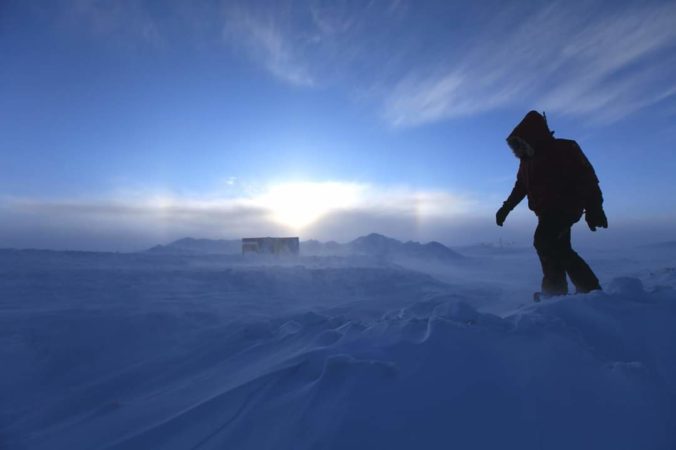
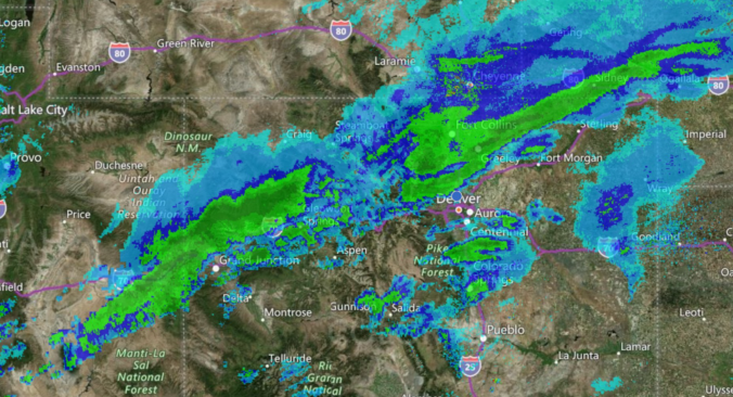
Significant weather changes are headed to the area over the next 12 to 48 hours with our second winter storm of the season taking aim on the Front Range. That’s right…don’t forget we had snow seven long weeks ago! This system will pack record-setting cold for late-October as well as widespread fluffy snowfall and embedded heavy snow bands compliments of the overhead jet stream. In this winter storm update, we discuss when the snow will arrive, how much accumulation to expect, and just how cold it will get to shatter existing records.

How uncommon is an October snowstorm of this magnitude during La Niña ? How much snow are we expecting for our area? Will the bitter cold temperatures actually end up hurting the snow potential? Listen to find out!

Live View of Boulder

Current Conditions

Live Radar

Recent Premium Posts

This Weekend in Colorado Weather: Early-Season Heat Ramps Up — First 90s of the Year on the Horizon
🌬️ West–northwest flow Thursday supports high‑based convection with gusts to 35 MPH; virga …
BoulderCAST Daily – Wed 06/03/26 | Scattered P.M. storms again as moisture peaks for the week
🌬️ Weak westerly flow aloft today with no major synoptic features nearby; only …
BoulderCAST Daily – Tue 06/02/26 | Storms Reload This Afternoon, But With Noticeably Less Bite
❄️ Monday delivered lots of hail to northeast Colorado, with one supercell tracking …
3-Day Forecast

Trending Content

© 2026 Front Range Weather, LLC