Above average temperatures and sunshine kick off the week under a large anomalous dome of high pressure. A cooling trend ensues to end the week, along with a chance of snow, although uncertainty exists in the exact track of the storm system. Read on for more details.
Category: Winter Weather (Page 78 of 139)
These posts contain some discussion of the white stuff, whether it be mountain snow pack or a Front Range snowstorm.
November 2020 ended up quite a bit different than November 2019 which was one of the coldest for our area. The month began with a record warm stretch but eventually had a few snow events. Overall, though, it was a very warm and fairly dry month which is just what we predicted. Here’s a quick and colorful rundown of our weather during November and how it relates to climatology.
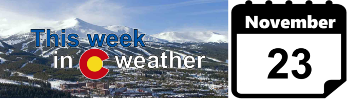
The week ahead will commence and conclude on a rather pleasant note. However, sandwiched in between will be a few cold and unsettled days with snow possible across the Boulder and Denver area. All in all, we expect only light accumulations, but there is some uncertainty as two nearby storm systems interact with one another. Let’s take a look!
⦁❶⦁ A cold front moved through overnight with cooler temperatures expected today, near 40°F
⦁❷⦁ A slight chance of snow showers this evening for mainly the Foothills and far western suburbs, a dusting of accumulation possible
⦁❸⦁ Temperatures up and down over the weekend into early next week, but no more snow
A snowy forecast is in store this week as two weather systems take aim on the state. The first one approaches overnight tonight, while a second one gears up for Thanksgiving. In between these systems, the weather will remain tranquil with temperatures below average for the most part this week. Read on for our detailed forecast discussion on snow amounts and the week as a whole.
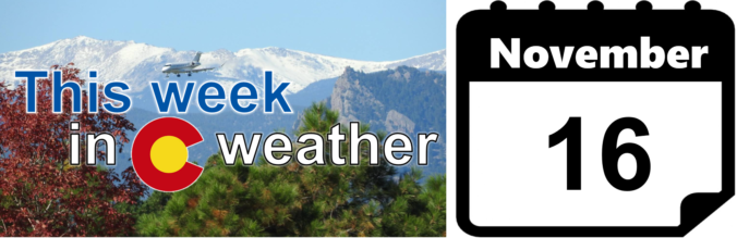
After a very gusty weekend, you’ll be happy to know that warmer and calmer weather is on the way for much of the week ahead. High temperatures rise sharply back into the 60’s and even 70’s this week with lots of sunshine. However, winter weather could be right around the corner. Read on for our complete outlook of the week ahead.
What is the status of the historic wildfires across Colorado? What is the latest on La Niña and its forecast through the rest of winter? How many Greek letters are left in the alphabet for Atlantic hurricanes this year? Listen to find out!

Live View of Boulder

Current Conditions

Live Radar

Recent Premium Posts

This Weekend in Colorado Weather: Early-Season Heat Ramps Up — First 90s of the Year on the Horizon
🌬️ West–northwest flow Thursday supports high‑based convection with gusts to 35 MPH; virga …
BoulderCAST Daily – Wed 06/03/26 | Scattered P.M. storms again as moisture peaks for the week
🌬️ Weak westerly flow aloft today with no major synoptic features nearby; only …
BoulderCAST Daily – Tue 06/02/26 | Storms Reload This Afternoon, But With Noticeably Less Bite
❄️ Monday delivered lots of hail to northeast Colorado, with one supercell tracking …
3-Day Forecast

Trending Content

© 2026 Front Range Weather, LLC