Category: Verification (Page 33 of 53)
These posts take a look back at recent weather events, like snow storms or severe weather outbreaks, and evaluate how the forecast played out. We evaluate how well the models predicted what actually occurred, and offer insight into what can be learned and applied moving forward.
Wednesday’s winter storm was a typical one for the Front Range. We discuss the snow totals, the lack of blizzard conditions, and whether or not it was a bomb cyclone.
Let’s take a look at the snow totals across the Front Range from Friday night’s quick-moving, late-March snow event.
We provide a quick forecast update covering the threat of thundershowers Friday afternoon and accumulating snow Friday night. Read on for a discussion of the timeline and potential snow amounts.
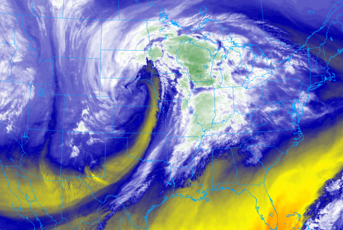
For many of you, this week’s blizzard will be one to remember for years to come. We take a look at the formation and evolution of what may have been the strongest storm in Colorado’s history. We also review the remarkable snow totals and wind gusts from across the region.

It may seem odd to call 8 inches of snow in Boulder and 4 inches in Denver “disappointing”, but that is indeed our sentiment towards the prolonged winter storm that moved through over the weekend. All of the ingredients for snow came together in unison, including one of the coldest airmasses so far this winter and juicy moisture from an atmospheric river. We discuss why snow totals came in on the lighter side and the record-breaking cold air.
Heavy snow fell Friday evening across portions of the Metro area. For potentially the first time ever, Denver International Airport reported the highest snow amount region-wide. We discuss the storm specifics and review the snow totals from across the Front Range.
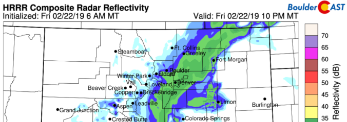
We provide quick a update on the potential for heavy snow Friday evening across portions of the Metro area. Travel may become difficult with 6″ or more of snow expected in some areas.

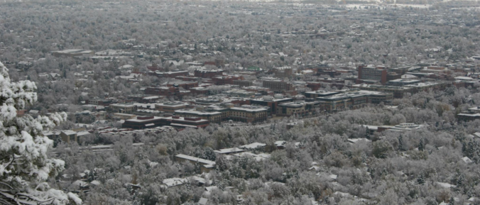
Live View of Boulder

Current Conditions

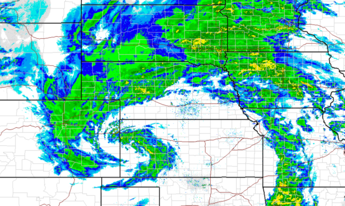
Live Radar

Recent Premium Posts

BoulderCAST Daily – Tue 06/02/26 | Storms Reload This Afternoon, But With Noticeably Less Bite
❄️ Monday delivered lots of hail to northeast Colorado, with one supercell tracking …
BoulderCAST Daily – Sun 05/31/26 | Dry and warm today but rain chances increase this week
🌦️ Overall dry and warm Sunday, though cannot rule out a very widely …
BoulderCAST Daily – Sat 05/30/26 | A stray shower today as most activity resides well east of Denver
🌦️ Spotty showers today, mainly well east of the Denver Metro area, where …
3-Day Forecast

Trending Content

© 2026 Front Range Weather, LLC