


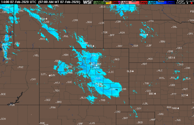
We take a quick peek at snowfall totals as of Friday morning, check the latest from the models, and let you know how much snow is still to come.
Category: Verification (Page 34 of 61)
These posts take a look back at recent weather events, like snow storms or severe weather outbreaks, and evaluate how the forecast played out. We evaluate how well the models predicted what actually occurred, and offer insight into what can be learned and applied moving forward.
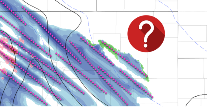
Following hot on the heels of the snowstorm earlier this week, another round of winter weather is expected Thursday evening into Friday evening across the Front Range. This one however will be a different beast, defined almost exclusively by a long window of scattered jet-forced heavy snow bands. Extreme uncertainty in the exact location and timing of the banding means potential snowfall amounts are not quite known. We discuss the setup and give our thoughts on what is sure to be a difficult forecast to end to the work-week.
Shown below is the BoulderCAST snowfall forecast map issued Sunday (February 2nd) during the afternoon with actual storm totals overlaid in boxes. Green boxes indicate that our forecast verified to within one inch of the observed snowfall. Red did not.

| Seasonal Snow Totals (Updated Feb 5 2020) |
|---|
| Boulder | Denver |
|---|---|
| 73.0" | 32.7" |
Our first widespread snowfall of 2020 is winding down, but the cold will linger for most of the week ahead. We’re also tracking our next potential chance of heavy snow resulting from the overhead jet stream in just a few days time. Read on for all the details.
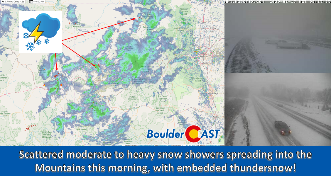

This week will end with a bang! A potent Pacific storm system will blast through the Front Range during the day Friday bringing possible damaging winds, a slight chance of rain/snow, and fresh powder to the High Country.

After a cold start to our week to end the month of December, the weather turns milder as we ring in the New Year. Don’t get too cozy…a return to winter-like temperatures will ensue during the latter part of the week. We also discuss the little bit of snow over the weekend which produced just enough to bump 2019 into Boulder’s top 5 snowiest calendar years.
Live Radar

Trending Content


Recent Premium Posts

BoulderCAST Daily – Wed 11/11/26 | Mild Days Ahead, But There Are Signs of a More Active November Soon
☀️ Warm & Quiet — Sunshine dominates through Thursday with highs rising from …
BoulderCAST Daily – Tue 11/10/26 | Clouds Increase Today, But Colorado’s Dry Pattern Rolls On
🌤️ A Few More Clouds Today – Mountain wave clouds are developing along …
BoulderCAST Daily – Sun 11/08/26 | Mild November Weather Continues, Even With A Cold Front Midweek
☀️ Sunny and warm for early November – Temperatures in the middle to …
© 2026 Front Range Weather, LLC
You must be logged in to post a comment.