Category: Verification (Page 11 of 51)
These posts take a look back at recent weather events, like snow storms or severe weather outbreaks, and evaluate how the forecast played out. We evaluate how well the models predicted what actually occurred, and offer insight into what can be learned and applied moving forward.

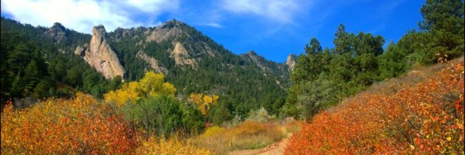
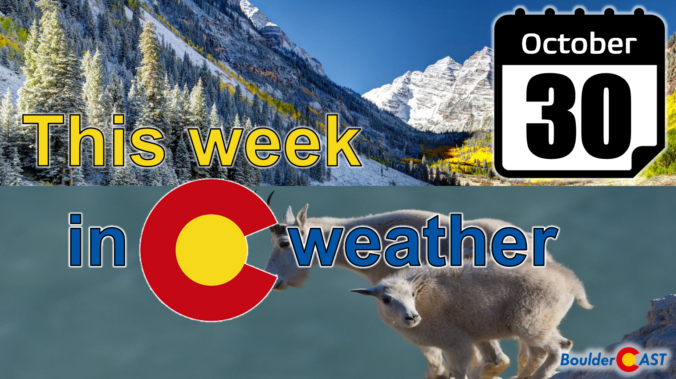
October 2023 was an overall warm and very dry month in Boulder, but the days leading up to Halloween turned markedly colder with our first snowfall of the season arriving just a tad later than usual, and it was a sizable one for many! Despite the dry last few months, officially drought has not yet returned to the Front Range. Here’s a quick and colorful graphical recap of our weather during October and how it relates to climatology.
Our first snowfall of the season is now behind us, but the bitter cold temperatures that accompanied it are still sticking around. It will take several more days before we have anything resembling normal temperatures across the Front Range. Overall the week ahead will be quiet and mostly sunny with little to be concerned about weather-wise. The upcoming weekend looks rather nice as well. Read on for all the details.
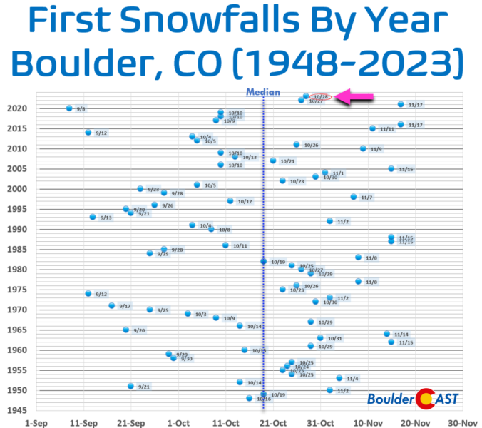
The highly anticipated first snowfall of the season is now out of the way for everyone in the Front Range with a widespread blanket of snow having dumped on the area Saturday evening and overnight. Light snow continues to fall Sunday morning, but most of the accumulation is over and done with. Though things didn’t go perfectly as planned, snowfall amounts came in about as expected across the Boulder-Denver Metro area with a range of 3 to 12″. Let’s take a look at the totals and near-term forecast. We also announce the (many) winners of our 2023 First Snowfall Contest.
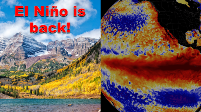
After enduring three consecutive La Niña winters, El Niño has taken over the globe once again intensifying in unusually rapid fashion. As of writing in mid-October, a strong El Niño is underway with impacts that will stretch globally in the months to come. We take a look at the current state of ENSO and what to expect from Mother Nature this winter across the Front Range lower elevations and Mountains.
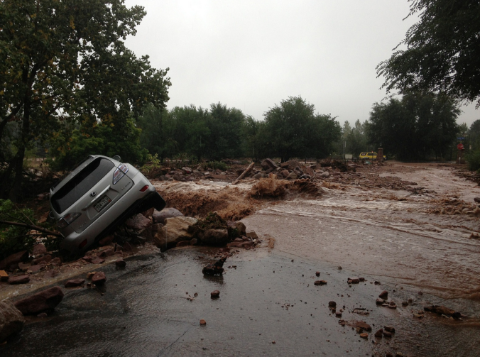
Ten years ago this week, torrential rains fell across the Front Range, triggering one of the worst floods in Colorado’s short recorded history, accompanied by a staggering repair bill now approaching $3 billion. With Boulder County at the epicenter of the disaster, the road to recovery has been long and arduous, and still continues today. We take a look back at this historic event, explain how it happened, and provide an update on related analysis performed since.

Live View of Boulder

Current Conditions

Live Radar

Recent Premium Posts

Announcing the 2025 First Snowfall Contest Winners
Apologies for the delay, but with Boulder’s record-shattering latest first snow of the …
BoulderCAST Daily – Sat 12/13/25 | Highs in the 60s this weekend!
🌡️ October Warmth in December: Highs typical for late October will be in …
This Weekend in Colorado Weather: The December that has felt like October continues with bone dry warmth persisting into next week
🌬️ Two more breezy days ahead with gusts 15–25 MPH before the jet …
3-Day Forecast

Trending Content

© 2025 Front Range Weather, LLC