


Though we’re not expecting any rain or snow in the Metro area this week, temperatures will vary considerably day to day. We also discuss a developing atmospheric river event later this week and how it could impact our region over the weekend.
Category: This Week in Colorado Weather (Page 49 of 71)
These weekly forecast posts are published EVERY Monday morning and provide a general overview of the atmosphere and the weather conditions for the week ahead in Front Range Colorado. We give you a heads-up on the major short-term weather features and anything looming down the road.
After a warm and pleasant weekend, the trend this week is toward colder weather after a few more warm days. Arctic air will make its way back in by the middle of the week, along with the chance of snow both across the Plains and in the Mountains. Read on to find out more.

Just like last year, the biggest and most dynamic snow event of the winter season seemingly came out of no where. We discuss why some areas of the Boulder & Denver Metro areas saw nearly a FOOT of snow on Monday. We also walk through the forecast for the next five days which will be much tamer compared to the flurry of snowstorms we have endured lately.

Overall mild temperatures will be present this week across the Plains under a mixture of clouds and sunshine. The Mountains will see more snow starting Tuesday night and continuing off and on through Friday. We also detail a return to cold and a chance of snow come Friday.
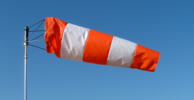
While the upcoming week will feature dry conditions and warm temperatures by January’s standards, the primary concern will be the very strong bora wind event making for dangerous travel at times on Monday west of Interstate 25. Read on for our full outlook of the upcoming week.
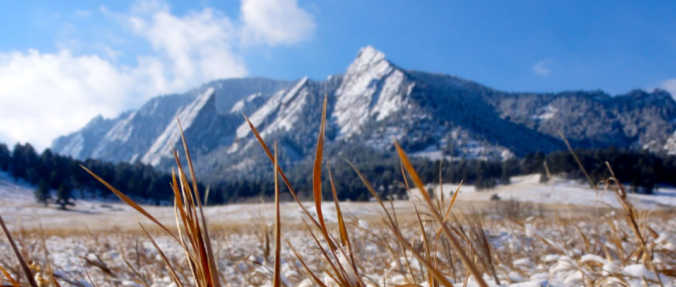
This shortened first work-week of 2019 will feature a return to mild temperatures along with lots of sunshine. You won’t believe how warm it is going to be on Friday and Saturday! Only over the weekend do clouds and the next chance of snow return to Colorado.

In this week’s forecast, we cover the pleasant weather for Christmas Eve and Day, potential snow amounts for Wednesday’s storm, and the big cool-down coming later this week. Unfortunately, this Christmas will not be a white one for the lower elevations. Head to the Mountains if you want snow.

The week ahead will feature overall above average temperatures, along with a few periods of gusty downslope winds. The Mountains will also pick up more snowfall in the middle of the week. Finally, we discuss what Mother Nature may have in store for the region on Christmas.

Live View of Boulder

Current Conditions

Live Radar

Latest Smoke Forecast

Recent Premium Posts

BoulderCAST Daily – Sun 08/23/26 | Another day of scattered afternoon storms, but with better air quality
☀️ Temperatures hover in the lower 90s today and through much of the …
BoulderCAST Daily – Sat 08/22/26 | Scattered Storms Capable of Heavy Rain and Gusts/Hail
😷 Ozone lingers — An Ozone Action Day holds in place until 4 …
BoulderCAST Daily – Fri 08/21/26 | Record Heat Possible Today
😷 Ozone lingers — It’s an Ozone Action Day again; hot/sunny conditions and …
3-Day Forecast

Trending Content



© 2026 Front Range Weather, LLC