
Following a very chilly Sunday, it will be business-as-usual for the week ahead with the sweltering heat returning to the Metro area. The same high pressure that has been plaguing us for weeks on-end will isolate Colorado from the pool of much-needed monsoon moisture, thus limiting rainfall chances for the foreseeable future. Read on for the disappointing details.
Category: Long-Range (Page 10 of 16)
With the first full-week of July coming to a close, monsoon season is right around the corner for northeast Colorado. However, its arrival is not something you can mark on the calendar as there is no set date for its commencement. It fluctuates substantially from year to year, depending greatly on the weather patterns of Mexico, the southeast USA, and the tropical eastern Pacific Ocean. We discuss the current state of the atmosphere and when we expect the monsoon to finally arrive.
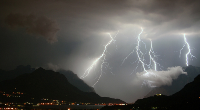
Today was the 17th consecutive day of above average temperatures and dry conditions in Boulder and Denver. It’s about time for a change…don’t you think? Several atmospheric ingredients will be coming together over the next several days to bring cloud cover, much cooler temperatures, and the potential for significant rainfall to the state of Colorado. The atmospheric moisture content statewide will be close to all-time record levels for the month of June. With so much moisture involved, some areas could see heavy rainfall capable of producing flash flooding. Read on for details.
Are you tired of the heat yet? We discuss the weather pattern responsible for the recent heat wave and explain why it’s going to be difficult to unseat this hot airmass heading forward. Continue reading
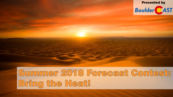
*Contest closes May 30, 2018 at 11:59 PM*
All of our previous contests have involved predicting some aspect of snowfall in Boulder. This changes today! Your goal this time around will be forecasting how intense the summer heat will be during the upcoming months of June, July and August. To help you along with your prediction, we provide a brief overview of the climatology and cover what the models are predicting for this summer. Prizes include a $50 Amazon gift card and Premium subscriptions. Get your forecast in now!
Premium Storm Update (Fri May 18 at 7:30 AM): We discuss the chances that the incoming storm could come in stronger and cause flooding across the region on Saturday. Plus, an update on the potential severe storm risk on Friday. READ NOW
—
We’re only half way through May, but many locations across the Front Range have already exceeded their normal precipitation for the entire month. This wet trend continues with another round of severe thunderstorms and widespread soaking rainfall this weekend.
Thanks to those of you whom participated in our Spring Snow Contest. The goal of the competition was to predict the amount of snow that would accumulate in Boulder for February, March and April 2018 in relation to climatological normal. In this post, we review the entries and announce the winners!
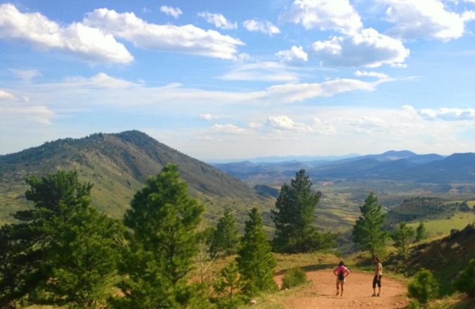
With April come and gone, we are now fully entrenched in the Spring season here in the Front Range. We take a look at current trends, past climatology, and offer our prediction for the month of May in northeast Colorado.

Live View of Boulder

Current Conditions

Live Radar

Latest Smoke Forecast

Recent Premium Posts

BoulderCAST Daily – Sun 07/12/26 | Hot weather for a good chunk of the coming week
🥵 🔥 Heat for a good chunk of the week: Upper 90s through …
BoulderCAST Daily – Sat 07/11/26 | Here comes the heat!
🥵 Heat start today: Upper 90s start today and continue well into next …
BoulderCAST Daily – Fri 07/10/26 | The heat builds into the weekend
⛈️ Storms around today: A weak impulse of energy favors some isolated storms …
3-Day Forecast

Trending Content

© 2026 Front Range Weather, LLC