


Category: Forecast (Page 35 of 169)
After the very windy weekend, our weather in the Front Range will turn much quieter for the week ahead. Temperatures will fluctuate between the 50s and the 70s throughout the week with only one minor chance to pick up any precipitation. The upcoming weekend will see temperatures soar towards 80 degrees with fire danger unfortunately on the rise. Read on for all the details.
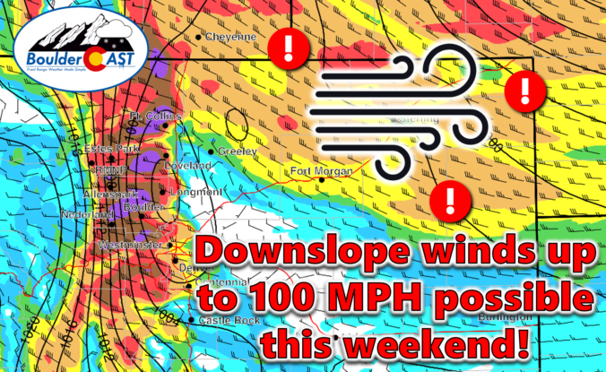
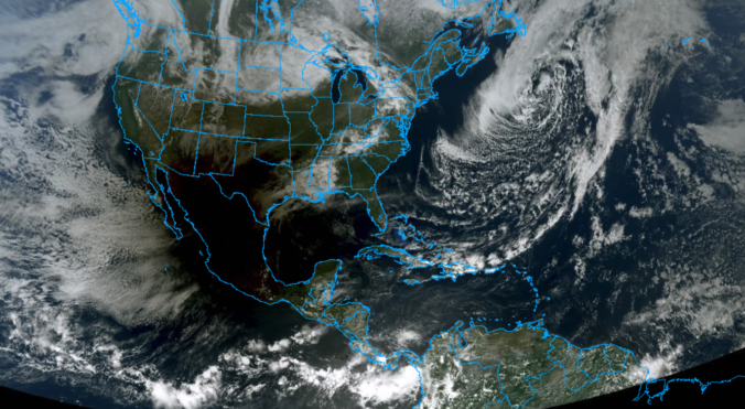
An exceptionally strong spring storm is approaching Colorado which will develop into a big ol’ blizzard in the coming days. However, unlike the last few storms which have been direct hits on the Front Range, this one will track further north leading to more wind than precipitation in our area. After a warm and gusty Friday with high fire danger, the incoming storm will bring colder temperatures and a brief chance of rain/snow showers on Saturday. The biggest impacts from this system, though, will come in the form of prolonged damaging downslope winds. We take a look at the large-scale atmospheric setup and discuss the potential snowfall amounts and which unlucky areas have a chance at wind gusts up to 100 MPH this weekend.
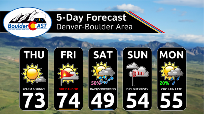
The week starts off on the chilly side with rain/snow showers for our Monday thanks to a passing area of low pressure. Snowfall amounts will be rather limited by marginal temperatures, with the best chance for a few inches of accumulation being in the Foothills. A trend toward above normal temperatures will take over by mid to late week as an omega blocking pattern sets up over the central United States. We are watching the potential for not only fire weather concerns late in the week but also a rain/snow chance for the weekend as another strong storm system moves in. Let’s take a look!
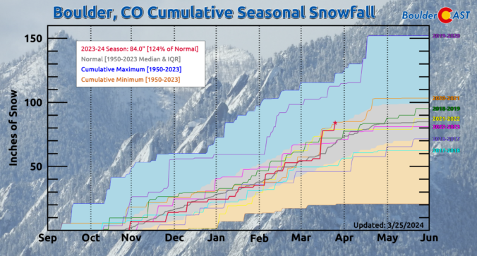
After a solid dump of springtime snow Sunday night, including widespread thundersnow, things will turn quiet for the week ahead with temperatures trending from downright chilly back to t-shirt weather by week’s end. We recap last night’s snowstorm, check the snowfall totals, and detail the Front Range forecast for the next seven days. Let’s dive in!
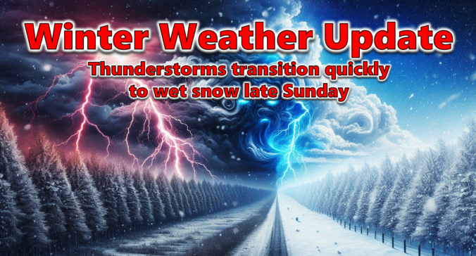
After a lengthy stretch of relatively quiet weather this past week as we officially transitioned from winter to spring, things are set to change on Sunday as a quick-moving storm system races into Colorado from the west with rain, hail, and thunder Sunday afternoon transitioning to heavy snow by Sunday evening. Several inches of accumulation will be possible with this storm, favoring the Palmer Divide and southern Foothills, but for the most part it’s moving too quickly to generate significant snow in our area. Winds will gust upwards of 45 MPH at times Sunday evening and night creating brief near-blizzard conditions in some locations. Read on as we discuss the latest forecast details, timing, and our projected snowfall amounts.
UPDATE (Sun 3/24/2024 8AM): Snowfall amounts were adjusted upwards an inch or two in some areas. Check our updated snowfall forecast map near the end of the post. Otherwise, the going forecast looks fine with afternoon thunderstorms quickly changing to snow after 6PM. Snow could be very heavy at times Sunday evening with 2″/hr snowfall rates. Gusty winds will create blowing snow and reduced visibility as well. Snow is still expected to end late Sunday night after midnight.

Live View of Boulder

Current Conditions

Live Radar
Latest Smoke Forecast

Recent Premium Posts

BoulderCAST Daily – Sun 07/12/26 | Hot weather for a good chunk of the coming week
🥵 🔥 Heat for a good chunk of the week: Upper 90s through …
BoulderCAST Daily – Sat 07/11/26 | Here comes the heat!
🥵 Heat start today: Upper 90s start today and continue well into next …
BoulderCAST Daily – Fri 07/10/26 | The heat builds into the weekend
⛈️ Storms around today: A weak impulse of energy favors some isolated storms …
3-Day Forecast

Trending Content



© 2026 Front Range Weather, LLC