


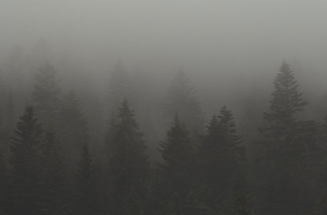
Wildfire smoke roared into the Front Range late Thursday night like a freight train — well if those were somehow silent and made up of tiny cancer-causing particles! Air quality and visibility have both tanked across the entire Denver Metro area as a result. Yuck! We discuss where all this smoke is coming from and when it may actually clear out.
Category: Climatology (Page 44 of 74)
These posts contain information about the long-term weather patterns of Boulder County. Potential topics may include 30-day weather outlooks, El Nino/La Nina, and seasonal forecasts. You will find less about the day-to-day weather, with more focus on longer trends and patterns.
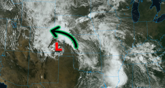
This was undoubtedly a wild week in Front Range weather — but one which resulted in multiple good outcomes. The extreme severe weather outbreak planned for midweek got partially busted by low clouds and fog which may have ultimately saved it from becoming the costliest hailstorm in state history. Further, the deluge of rain that dumped to close out the week will go a long way towards eradicating much of the ongoing drought in the eastern half of the state. Let’s take a look back at this crazy week in Colorado weather!

Overnight severe storms produced tennis ball-sized hail in parts of eastern Boulder County, acting as an appetizer for what will unfold later today as the greatest risk of severe weather in years may develop across the Denver Metro area. Low clouds lingering during the morning may delay the severe weather ignition today, but huge hail, damaging winds and a few tornadoes are still in the cards for the afternoon and early evening hours for some area. After the severe weather threat diminishes, soaking rain becomes the story Thursday into early Friday with areal flooding possible.
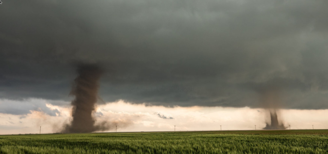
One of the most widespread Front Range severe weather outbreaks in recent memory is taking shape on Wednesday, though we still have some concerns. Two-inch hail, damaging winds and a few tornadoes are likely across eastern Colorado on Wednesday. Before that however, there will be another more uncertain bout of severe weather Tuesday night for the northern Front Range with big hail the main concern. Let’s get into this two-folded complex forecast!
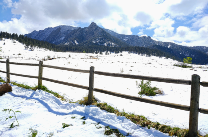
April 2023 concluded as Boulder’s sixth consecutive month with below normal temperatures. At the same time, the Front Range area saw below normal snowfall and precipitation leading to increased drought coverage, though a soggy conclusion to the month did help things a bit. Here’s a quick and colorful graphical recap of our weather during April and how it relates to climatology.
The last week of April will undoubtedly be an interesting one weatherwise across the Front Range as a potent spring storm bears down on Colorado in the coming days. While we still have some concerns about the storm’s track and exactly how low snow levels will come, this will be a classic upslope event with impacts ranging from thunderstorms to soaking rain to heavy wet snow for our area. Furthermore, there will also be another smaller but colder storm late in the week with accumulating snow chances. The Front Range forecast this week sure is busy! Let’s get into it.

As our snow season begins to wind down across the Front Range, our Winter Storm Updates are arriving to your inbox less and less. However, an interesting setup knocking on the door will create a quick chance of banded snowfall Friday night with everyone poised to see some white stuff accumulate. Let’s discuss the latest on the approaching snow bands including their timing, travel impacts and ultimately how much snow will stick.
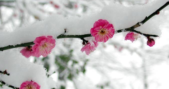
We hope you enjoyed the taste of summer as temperatures soared into the 70s and 80s the last several days because we will be paying for that warmth in short order as much colder temperatures and snowflakes take over the Front Range to end the week. A tricky forecast is set to unfold over the area Friday into Saturday with rain changing to wet spring snow for everyone. Up to 10″ could fall in the higher Foothills communities with even slushy accumulations on the table for the Denver-Boulder area. Let’s discuss the latest on the approaching winter storm.

Live View of Boulder

Current Conditions

Live Radar

Latest Smoke Forecast

Recent Premium Posts

BoulderCAST Daily – Fri 09/25/26 | A Stormy Friday, Followed by a Quiet Weekend
🌧️ Friday storms — Another wave brings afternoon scattered showers and storms ☀️ …
BoulderCAST Daily – Wed 09/23/26 | A Gloomy Next Couple of Days as 90° Season Winds Down
🌧️ Monsoonal surge — Deep late‑September moisture pushes into Colorado with PW near …
BoulderCAST Daily – Tue 09/22/26 | Subtropical Plume Arrives, Rainfall Still Hard to Come By
🌦️ Moisture surge — Subtropical moisture lifts into Colorado today, sparking scattered afternoon/evening …
3-Day Forecast

Trending Content



© 2026 Front Range Weather, LLC