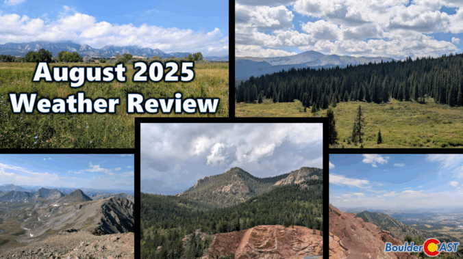
August 2025 was on track to be our third scorcher in a row — hot, dry, and smoky — until a late-month shift brought in a welcome stretch of cooler, wetter weather. That pattern change helped balance things out across the Front Range, with most areas landing close to average for rainfall and just slightly warmer than normal overall. Still, it wasn’t all relief: the month packed in plenty of wildfire smoke and a few record-breaking heat days that served to remind us that summer wasn’t done yet. Here’s a quick and colorful graphical recap of our weather during August and how it relates to climatology.
NOTE: This monthly recap was delayed due to missing data in the August 2025 climate record for Boulder which has since been partially filled with best-guess approximations.
August 2025 Temperatures:


![]()
2025 90-Degree Day Timeline To-Date:

August 2025 Precipitation:


Precipitation totals during August 2025 across the Boulder-Denver Metro area

![]()
2025 Monsoon Rainfall To-Date


The 2024-2025 Snow Season is Over!
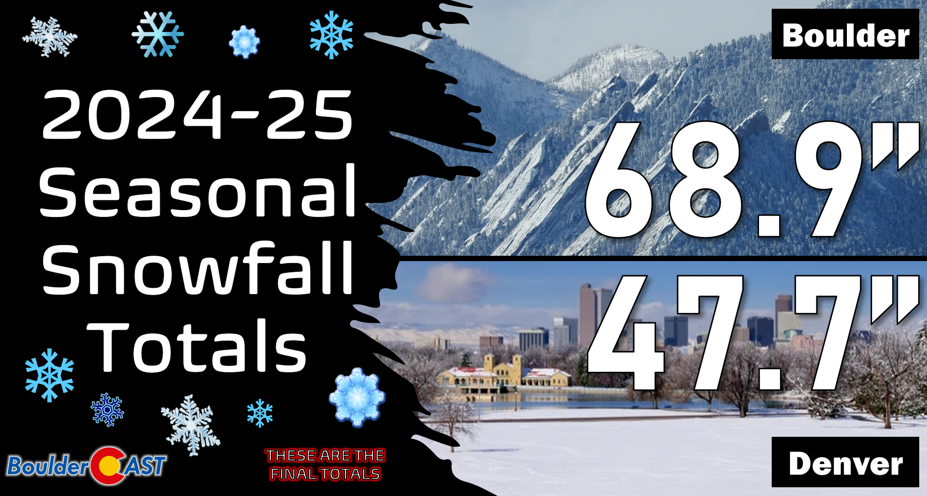
You can find a recap of all the winter storms from the 2024-2025 snow season HERE.
How does August 2025 fit into the last 75 years?

How does August 2025 fit into the last 12 months?

Latest Drought Tracker (as of September 23rd)

August 2025 retold via our Twitter X timeline:
NOTICE: We are now on Threads and Bluesky! Come follow us there, too!
Our top posts of August 2025
Spread the word, share Colorado weather:

Go Premium, get all the perks.
Daily Forecast Updates
Get our daily forecast discussion every morning delivered to your inbox.
All Our Model Data
Access to all our Colorado-centric high-resolution weather model graphics. Seriously — every one!
Ski & Hiking Forecasts
6-day forecasts for all the Colorado ski resorts, plus more than 120 hiking trails, including every 14er.
Smoke Forecasts
Wildfire smoke concentration predictions up to 72 hours into the future.
Exclusive Content
Weekend outlooks every Thursday, bonus storm updates, historical data and much more!
No Advertisements
Enjoy ad-free viewing on the entire site.


Thank you for the diversity of data set graphs. The geographic abnormalities in precipitation versus “normal” seem to indicate that the monsoon rains have shifted dramatically toward the Great Plains, including Eastern Colorado, during this season. Is there statistical significance showing this as a trend over the data set period since 1950? Or has the geographic distribution of monsoon precipitation become more chaotic during this period? Monsoon trend estimation is very important to agriculture and those of us who plan and program landscape irrigation. Is there a noticeable change in the jet or other forcing function that is creating a wetter Great Plains?
I’m not familiar enough with the Great Plains climatology to comment on long-term changes there in summertime rainfall. However, the rain they receive isn’t really from the monsoon. That is strictly a Four Corners are benefit. The Front Range is on the very edge its influence. Further east, summertime rainfall is more controlled by frontal boundaries coming south across the center of the country, often times clipping eastern Colorado. However, that doesn’t mean they aren’t related. A strong monsoonal pattern over the Southwest will tend to block cold fronts from making it into the western High Plains. So a lack of a monsoon here should in theory lead to above normal rain for areas in the Great Plains (at least western Plains).