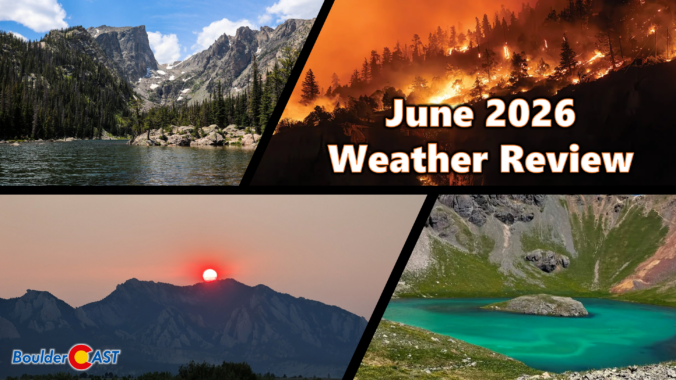
Category: Monthly Recap (Page 1 of 4)

March 2026 Graphical Weather Review: The warmest March on record by a massive margin (and warmer than all but a few Aprils)

March 2026 delivered one of Colorado’s most jarring spring months on record with temperatures skyrocketing to unprecedented levels as the region shattered long‑standing warmth records for weeks on end. Western snowpack rapidly declined during this multi-week heatwave, reaching historic lows in a majority of basins across the West, including every major basin in Colorado. Brief interjections of snow occurred during the month across the Front Range, but most the state ended with well below normal precipitation. Here’s a quick and colorful graphical recap of our weather during March and how it relates to climatology.

Continue reading

February 2026 Graphical Weather Review: Yet another exceptionally warm, dry and nearly snowless month of “winter”

February 2026 ran exceptionally warm, dry, and almost snowless across the Front Range—another month that felt more like an early spring preview than the heart of winter. Warm spells were frequent, with multiple days soaring into the 60s and even low 70s, while true winter cold was only brief and muted. February was a month defined by sunshine, downslope winds, fire danger, and a striking lack of moisture. It was officially Boulders 3rd warmest and 9th driest February on record. Here’s a quick and colorful graphical recap of our weather during February and how it relates to climatology.

Continue reading

January 2026 Graphical Weather Review: Another mild month on the Front Range with winter still nowhere to be found

January 2026 wrapped up feeling more like an early taste of spring than the heart of winter along the Front Range, with warm spells, frequent downslope winds, and only fleeting brushes with snow. Boulder spent much of the month running well above normal, dodging storm after storm as the real winter weather stayed locked in the Mountains and across the eastern half of the country. Here’s a quick and colorful graphical recap of our weather during January and how it relates to climatology.

Continue reading

October 2025 Graphical Weather Review: A warm & dry month that prolonged the growing season, delayed our first snow

October 2025 was definitively warm and dry throughout the Front Range with the primary storm track remaining well north across Wyoming and Montana. The only real precipitation event during the month occurred on October 6th with some locations picking up more than one half inch of rain. Our first frost of the season occurred about two weeks later than normal, and to this day we’re still waiting for those magical first snowflakes across the lower elevations. Here’s a quick and colorful graphical recap of our weather during October and how it relates to climatology.

Continue reading

September 2025 Graphical Weather Review: A pleasant transition into autumn with just enough rain to stave off drought

September 2025 brought a classic Colorado blend to Boulder and the Front Range: near-normal temps, wetter-than-average skies, and a lively mix of sunshine and storms. A standout precipitation event around the 23rd delivered soaking rain in the lowlands and the first real coating of snow to the Mountains. The month eased us gently into autumn, with crisp mornings, comfortable afternoons, and brilliant foliage lighting up the higher terrain. And yes—who could forget that dramatic wave of Canadian wildfire smoke that swept through, reminding us how connected we are to the broader arid landscape of western North America. Here’s a quick and colorful graphical recap of our weather during September and how it relates to climatology.

Continue reading

August 2025 Graphical Weather Review: A hot, dry & smoky month saved by a cool & rainy finish

August 2025 was on track to be our third scorcher in a row — hot, dry, and smoky — until a late-month shift brought in a welcome stretch of cooler, wetter weather. That pattern change helped balance things out across the Front Range, with most areas landing close to average for rainfall and just slightly warmer than normal overall. Still, it wasn’t all relief: the month packed in plenty of wildfire smoke and a few record-breaking heat days that served to remind us that summer wasn’t done yet. Here’s a quick and colorful graphical recap of our weather during August and how it relates to climatology.

NOTE: This monthly recap was delayed due to missing data in the August 2025 climate record for Boulder which has since been partially filled with best-guess approximations. 

Continue reading

July 2025 Graphical Weather Review: Drought returns to the Front Range following our second straight hot & dry month

July 2025 was our second consecutive hot and dry month. The summer monsoon has been very stingy so far, leaving Boulder and much of the Denver region parched with drought conditions returning to parts of the Front Range. July didn’t hold back on extremes either: record-breaking heat at times scorched the region, plowable hail hammered Gunbarrel, and a rare funnel cloud spun up over the Foothills of Boulder County. Here’s a quick and colorful graphical recap of our weather during July and how it relates to climatology.

Continue reading

June 2025 Graphical Weather Review: A slow and steady browning of the Front Range

June 2025 started out cool and rainy in the Front Range, but precipitation became much more scarce as the month wore on, with our landscape drying out and fire danger creeping up over time. The month also featured several rounds of damaging severe weather and multiple sizzling heat waves. Here’s a quick and colorful graphical recap of our weather during June and how it relates to climatology.

Continue reading

« Older posts