A quick round-up of precipitation and snow totals from Wednesday’s over-producing winter event.
Tag: weather (Page 6 of 31)
A secondary weather system will bring a return of rain and snow to our region on Wednesday. This system is slightly warmer and weaker than the one earlier in the week. Nonetheless, some accumulating snow is possible later tonight. Read on for details.
Despite the warm weather of late, snow is once again headed to our region Monday evening and night. We provide details on the timing and potential snowfall amounts for this quick-moving spring storm.
Premium Storm Update (Mon Mar 26 at 7:00 AM) Minor northward adjustments for tonight’s rain/snow: READ NOW
We often include at least some discussion in our wintry forecasts about snow-to-liquid ratios. In this post, we explain what they are, why they matter, and examine the historical snow ratio record for Front Range Colorado.
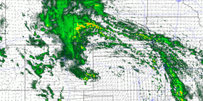
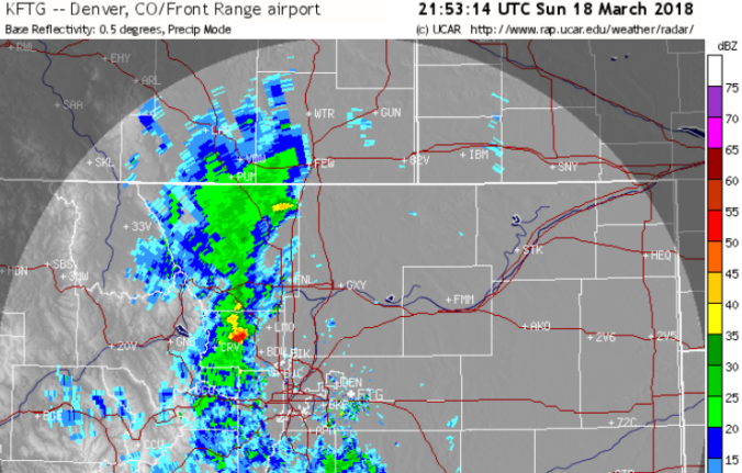
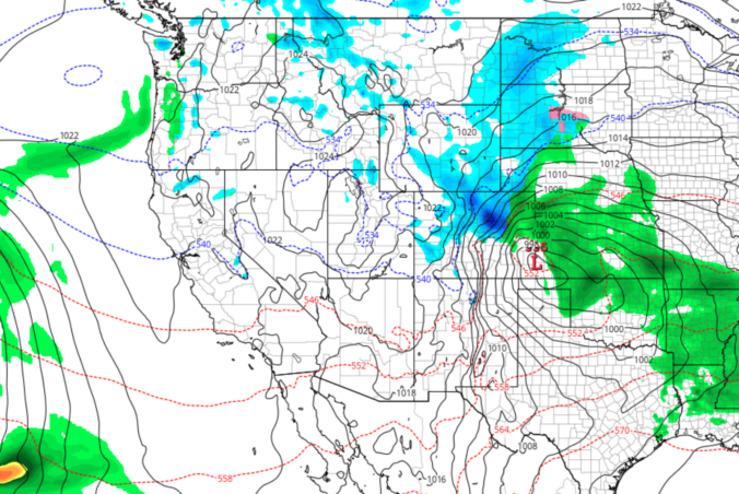
For the first time in many years, thundersnow rumbled within the city of Boulder Sunday evening! Snow totals from the storm varied from a dusting up to nearly 12″ across the region. We discuss the evolution of the storm and recap the snowfall totals.
Another spring storm will be impacting the entire state of Colorado Sunday afternoon into Monday. For the Front Range, the forecast over the next 24 hours includes thunderstorms, soaking rain, and accumulating snow. Read on to find out when we expect rain to change-over in your location and for our snowfall forecast map with potential amounts.

First widespread thunderstorms of 2018 in Colorado behind us; Winter eyeing the Front Range Sunday night
Read our brief recap of Thursday’s rain, snow and lightning. We also discuss our thoughts on a potential wintry event Sunday into Monday.
Dry and unseasonably warm conditions will continue across eastern Colorado for much of the week ahead. We discuss this along with an uncertain but interesting weather system for the upcoming weekend.
© 2026 Front Range Weather, LLC


