



Page 85 of 585
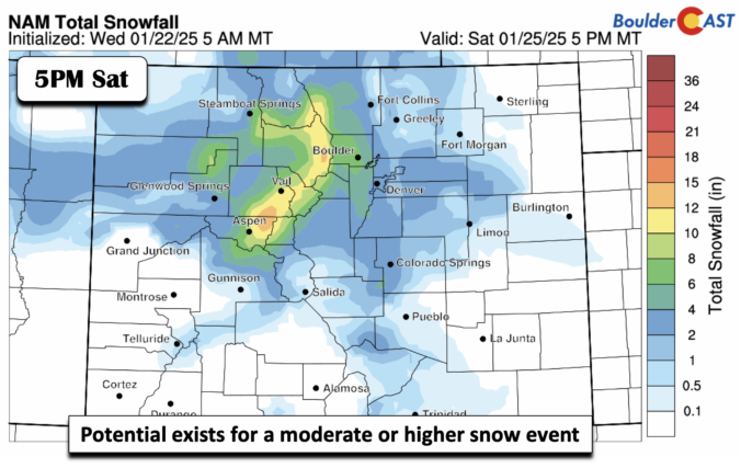
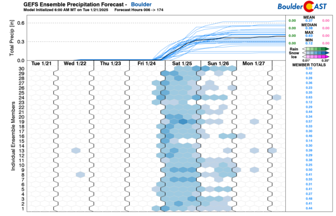

The week starts off with light snow and bitter cold Arctic air entrenched across the Front Range, but it won’t last long as the frigid airmass exits to our east quickly on Tuesday. While the rest of the week won’t exactly be warm, there will be a general upward trend in our temperatures back into the realm of normalcy. Our next chance of snow in the pipeline could arrive during the upcoming weekend. Read on for more details.
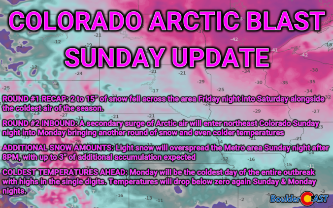
As of Sunday afternoon, skies are sunny and Round #1 of our Arctic Blast is in the books. This wave, which was always more about the white stuff than the extreme chill, delivered several fluffy inches of snow to the entire area, even over a foot in parts of Boulder County. Despite how nice it looks outside now, we are closely tracking Round #2 arriving Sunday evening into Monday with even colder air and another pulse of fluffy snowfall. Let’s take a look.
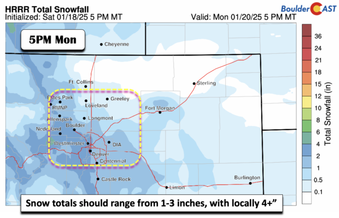
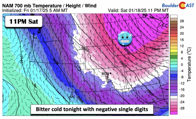
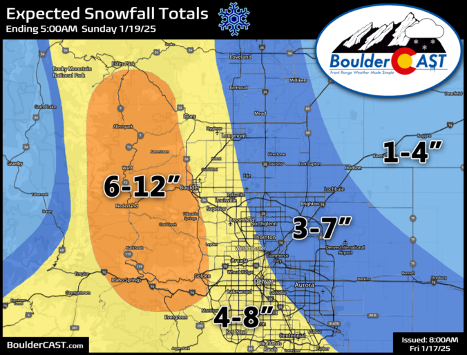
Our anticipated Arctic cold front is pushing southward across northern Wyoming right now and is on-track to arrive into the Denver area this afternoon. Snowflakes will be slightly delayed, but are expected to quickly develop early this evening impacting at least some of the commute window as travel turns very treacherous through the evening. The latest model data points to a slightly more impactful snow event unfolding, especially for Boulder County. We’ve increased snow totals in these areas. We also discuss the temperature outlook for the rest of the frigid holiday weekend ahead.

Live View of Boulder

Current Conditions

Live Radar

Latest Smoke Forecast

Recent Premium Posts

BoulderCAST Daily – Sun 09/27/26 | A Mild Sunday, Followed by Wet Weather This Week
☀️ Mild Sunday — Highs well into the lower 80s with a few …
BoulderCAST Daily – Sat 09/26/26 | Quiet Weather, But Wet Weather Is Brewing Next Week Tied To A Tropical System
☀️ Weekend calm — Weather is quiet this weekend in the lower 80s …
BoulderCAST Daily – Fri 09/25/26 | A Stormy Friday, Followed by a Quiet Weekend
🌧️ Friday storms — Another wave brings afternoon scattered showers and storms ☀️ …
3-Day Forecast

Trending Content



© 2026 Front Range Weather, LLC