


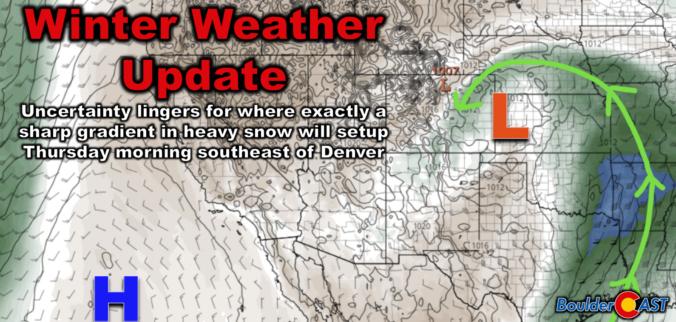
A medium-impact winter storm is headed for eastern Colorado, bringing some snowfall and strong winds to parts of the Denver Metro area late Wednesday night into Thursday afternoon. Weather models show varying predictions, but the southern and southeast suburbs of Denver are favored most for up to a couple inches of snow, with higher totals possible along and east of the Palmer Divide. We discuss the rift in the model guidance that is leading to the uncertainty, as well as the latest timing and most likely outcome from this somewhat warmer southern-track winter storm.

Page 84 of 585
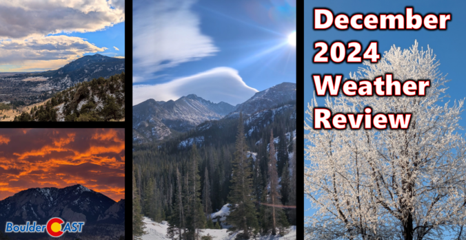
After a definitively wet November in the Front Range, Mother Nature did a complete one-eighty with December landing one of the warmest and least snowy on record in many locations, topped off with our first rainy Christmas in 82 years! Here’s a quick and colorful graphical recap of our weather during December and how it relates to climatology.
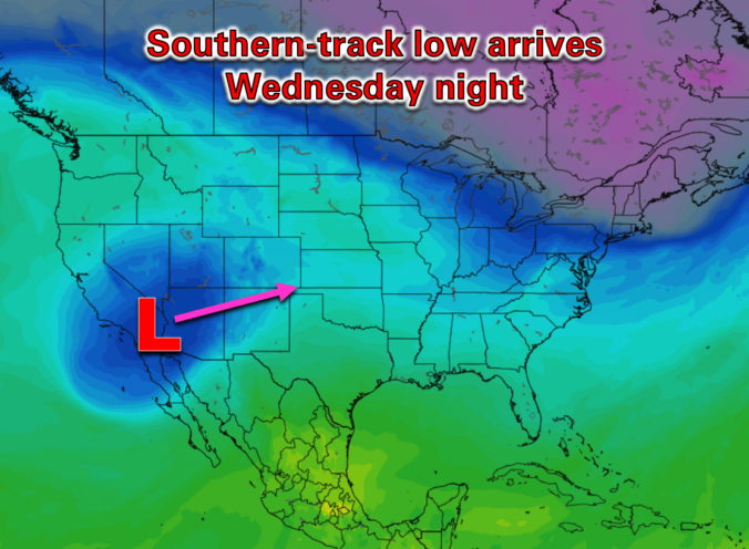
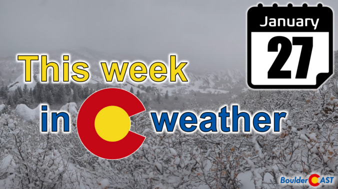
2025 has been exceptionally cold and snowy in the Front Range so far, but is that finally about to change? This week we can expect several tranquil sunny days to begin but we are watching the threat for more snow as a low-pressure system approaches from California by Thursday.
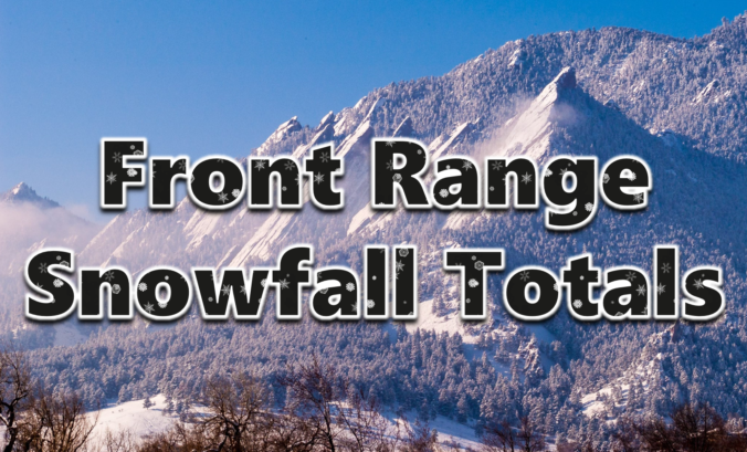
January is typically our driest month of the year, but in 2025 it’s been anything but as another round of fluffy snow dumped on the Front Range Friday night into Saturday. We briefly review both the snow totals from this single storm and the seasonal ones.
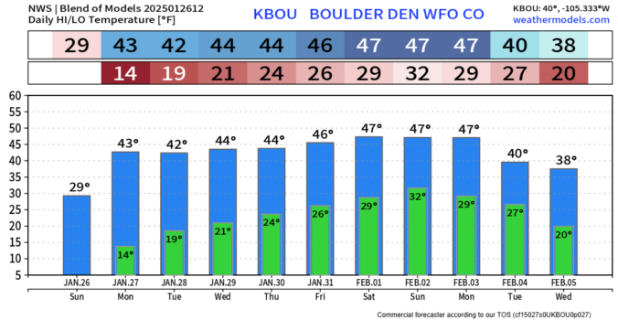
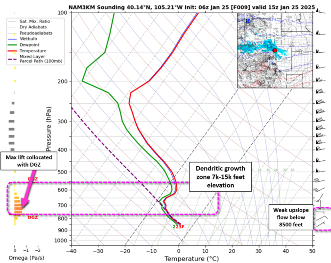
Snow began overnight across the entire Denver Metro area which has led to slick travel region-wide this morning as our temperatures sit in the teens. Generally light snow will continue in earnest through the day before wrapping up this evening from east to west. We take a look at snowfall totals so far and some of the factors influencing how much more fluffy snow is still to come.
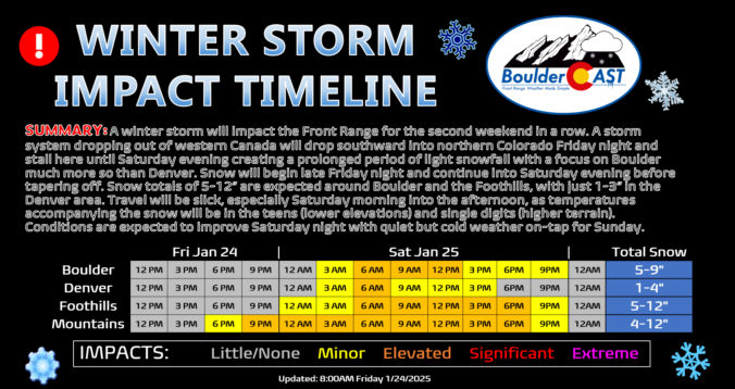
We haven’t really seen much melting of the more than a foot of snow that fell last weekend in Boulder, but additional white stuff is indeed on the way this weekend! A slow-moving storm system will bring relatively light but long-lasting snow to the area Friday night into Saturday night, with a heavy focus on the northern Front Range this time (Boulder and Larimer Counties). Some locations could see upwards of a foot of snow as temperatures plummet back into the teens for Saturday. Let’s take a look!

Live View of Boulder

Current Conditions

Live Radar

Latest Smoke Forecast

Recent Premium Posts

BoulderCAST Daily – Sun 09/27/26 | A Mild Sunday, Followed by Wet Weather This Week
☀️ Mild Sunday — Highs well into the lower 80s with a few …
BoulderCAST Daily – Sat 09/26/26 | Quiet Weather, But Wet Weather Is Brewing Next Week Tied To A Tropical System
☀️ Weekend calm — Weather is quiet this weekend in the lower 80s …
BoulderCAST Daily – Fri 09/25/26 | A Stormy Friday, Followed by a Quiet Weekend
🌧️ Friday storms — Another wave brings afternoon scattered showers and storms ☀️ …
3-Day Forecast

Trending Content



© 2026 Front Range Weather, LLC