



Page 83 of 585
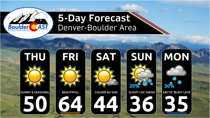
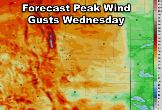
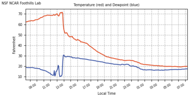
While Punxsutawney Phil and Flatiron Freddy both saw their shadows Sunday morning solidifying their predictions for six more weeks of winter, we’ll start off February with wildly above normal temperatures in the 60s to lower 70s here in the Front Range. However, we are watching an Arctic cold front that will peskily waver back and forth across northeast Colorado as the week progresses leading to fluctuating temperatures and plenty of uncertainty. The brunt of the cold air, though, likely will not plunge into our area until sometime next week alongside increasing chances for snowflakes.
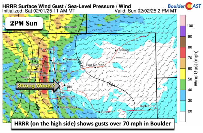
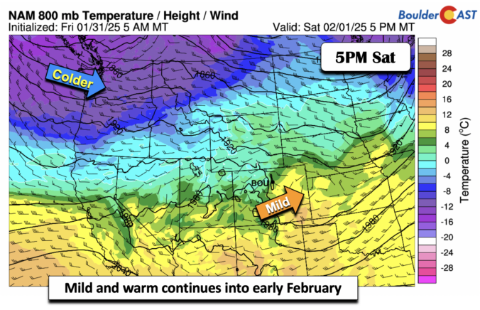
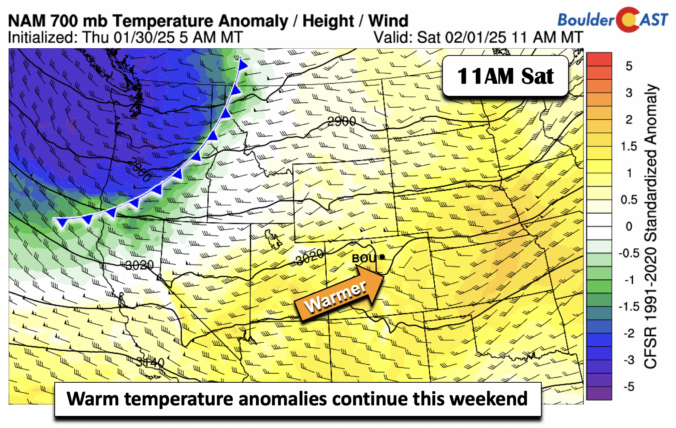
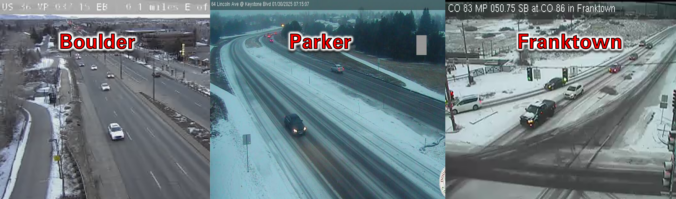
As expected, bands of snowfall pushed into the southeast Denver Metro area earlier this morning. While Boulder and the northwestern Front Range are dry, the southern and southeastern suburbs are facing a slick morning commute with heavy snowfall rates at times. We discuss the latest forecast, including how far westward these snow bands will make it and discuss the warm weekend ahead!

Live View of Boulder

Current Conditions

Live Radar

Latest Smoke Forecast

Recent Premium Posts

BoulderCAST Daily – Sun 09/27/26 | A Mild Sunday, Followed by Wet Weather This Week
☀️ Mild Sunday — Highs well into the lower 80s with a few …
BoulderCAST Daily – Sat 09/26/26 | Quiet Weather, But Wet Weather Is Brewing Next Week Tied To A Tropical System
☀️ Weekend calm — Weather is quiet this weekend in the lower 80s …
BoulderCAST Daily – Fri 09/25/26 | A Stormy Friday, Followed by a Quiet Weekend
🌧️ Friday storms — Another wave brings afternoon scattered showers and storms ☀️ …
3-Day Forecast

Trending Content



© 2026 Front Range Weather, LLC