



Page 78 of 585
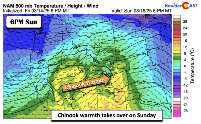
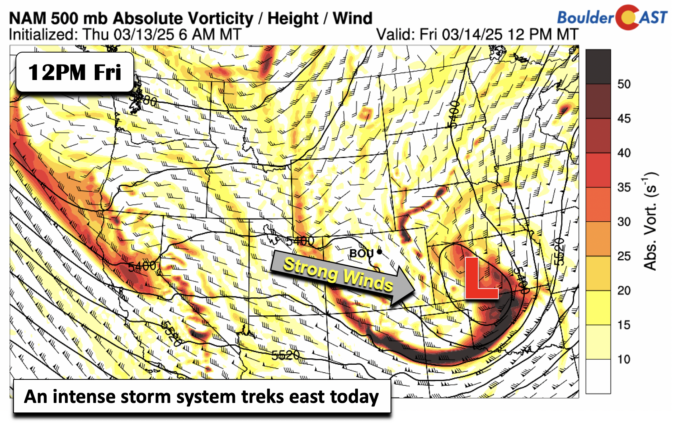
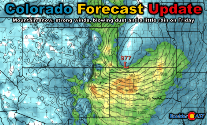
The well-advertised dip in the jet stream set to bomb out across eastern Colorado is still very much on-track to end the work week. The forecast for this springtime beast has remained largely unchanged since our last forecast update on Monday when we detailed that this monster storm would primarily be a wind-maker for us. We discuss which parts of Colorado will see the strongest winds, where the limited rain and snow will fall, and the ensuing mess this storm will cause as it races across the nation in the days ahead. Read on for the latest details.

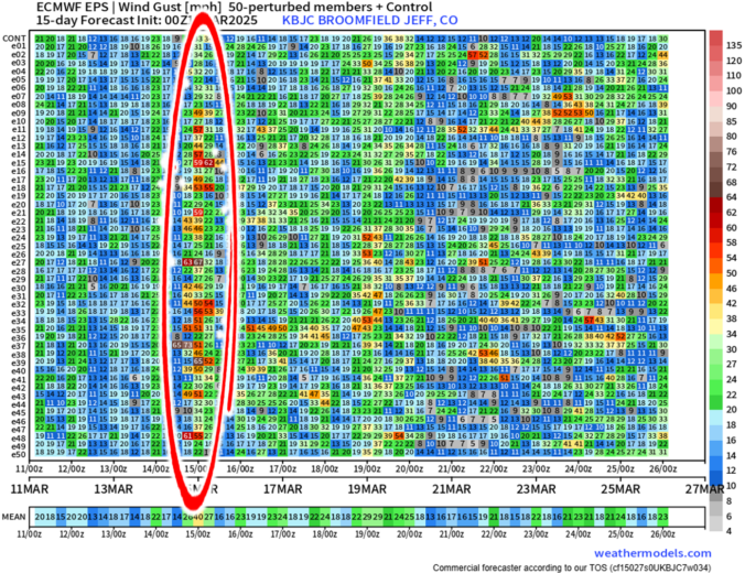
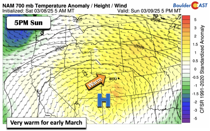
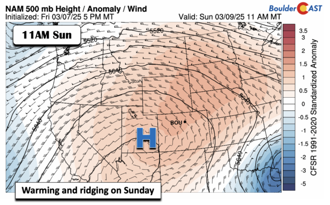
As we head into the second week of March, Mother Nature will offer up a wide range of weather in the Front Range, including elevated fire danger, unseasonably warm temperatures, and an impressively strong spring storm system by Friday. The late-week storm will usher in Mountain snow and widespread strong winds to the state. Depending on how things evolve, blizzard conditions and blowing dust may be an issue east of Denver, but things aren’t looking too bad in our immediate area. Read on for all the details.

Live View of Boulder

Current Conditions

Live Radar

Latest Smoke Forecast

Recent Premium Posts

BoulderCAST Daily – Sun 09/27/26 | A Mild Sunday, Followed by Wet Weather This Week
☀️ Mild Sunday — Highs well into the lower 80s with a few …
BoulderCAST Daily – Sat 09/26/26 | Quiet Weather, But Wet Weather Is Brewing Next Week Tied To A Tropical System
☀️ Weekend calm — Weather is quiet this weekend in the lower 80s …
BoulderCAST Daily – Fri 09/25/26 | A Stormy Friday, Followed by a Quiet Weekend
🌧️ Friday storms — Another wave brings afternoon scattered showers and storms ☀️ …
3-Day Forecast

Trending Content



© 2026 Front Range Weather, LLC