
Page 43 of 568
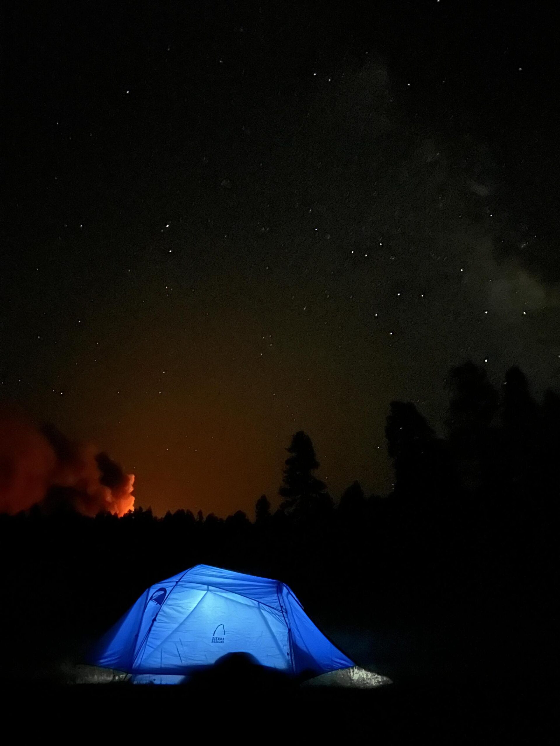

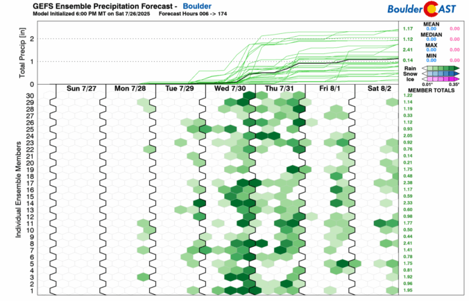
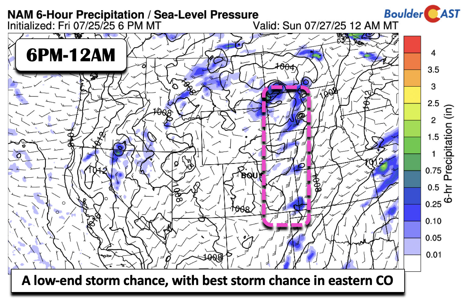
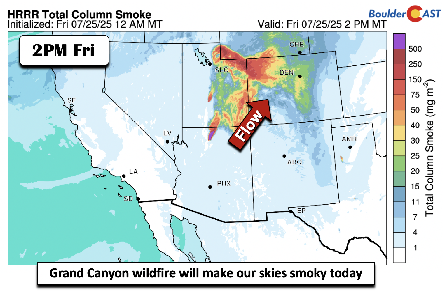
Colorado’s monsoon season has been off to a sluggish start, and the latest surge storm potential this week isn’t even from the monsoon itself—it’s thanks to potent cold fronts dropping in from the northeast. In today’s update, we dig into why flash flooding is on the rise this week, which areas are most at risk, and what the next few days could mean for our thirsty landscapes. Spoiler: while heavy rain is possible, it’s only a short window and many of us won’t see it. Plus, the new blanket of wildfire smoke is likely to stick around through the weekend.

With record-challenging heat to start and a dramatic cooldown looming midweek, Colorado’s weather is shifting gears—and fast. A powerful ridge is driving us toward 100° on Monday, but it won’t stick around. By midweek, cooler temperatures and increased rain chances roll in, possibly delivering relief via much-needed moisture. We break down the evolving setup, the timing of the incoming cold front, and what it could mean for rainfall totals, flash flooding risk, and your week ahead.

Live View of Boulder

Current Conditions

Live Radar

Recent Premium Posts

BoulderCAST Daily – Fri 05/29/26 | A Marginal Risk of Severe Isolated Storms
🌦️ Spotty showers this afternoon, mainly noon and 4 PM, with highs in …
This Weekend in Colorado Weather: Unsettled but Manageable as Low-End Storm Chances Hang Over the Front Range
🌎 Omega block holds through early next week, but slowly shifts toward the …
BoulderCAST Daily – Wed 05/27/26 | Overcast with a few showers, but the best action stays southeast of Denver
🔒 Stubborn central‑U.S. block keeps the West locked up, with the California closed‑low …
3-Day Forecast

Trending Content

© 2026 Front Range Weather, LLC