



Page 42 of 585
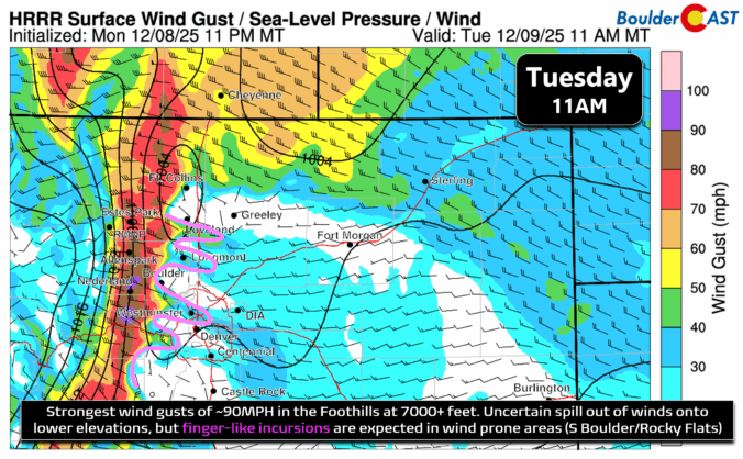
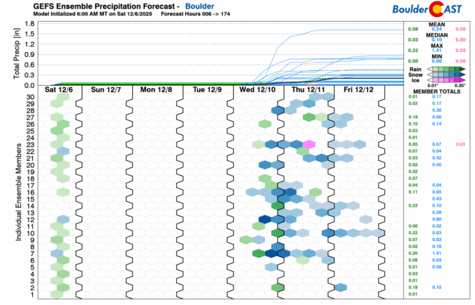
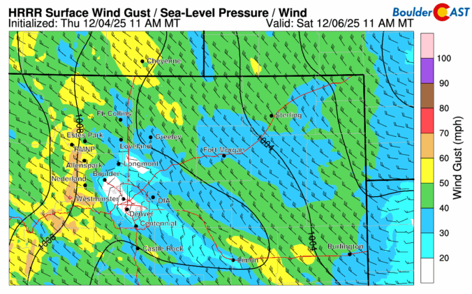
The Front Range finally saw its first real snow of the season last week, with Boulder picking up about 8 inches and the Foothills a bit more. The Mountains then cashed in over the weekend, stacking up one to four feet of powder. While this moisture is a welcome boost to our lagging snowpack, it’s not enough to erase drought concerns—but fire risk this year looks very different than the setup before the Marshall Fire. Looking ahead, the story shifts from snow to wind: multiple high‑wind events are on tap for the Foothills this week, while Boulder and Denver stay mostly dry and mild with highs in the 50s to 60s with occasional breeziness. Read on for the full breakdown of this week’s weather.
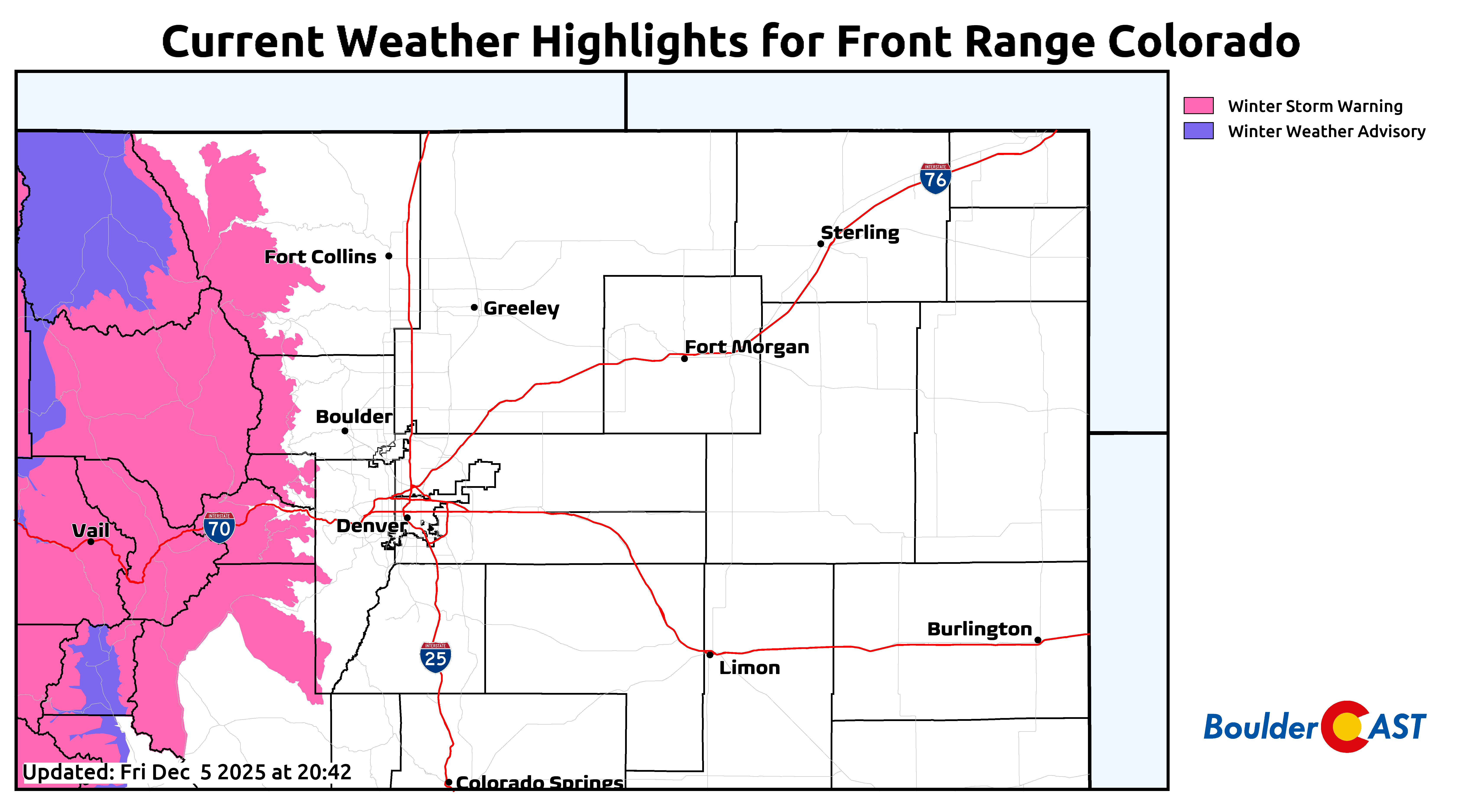
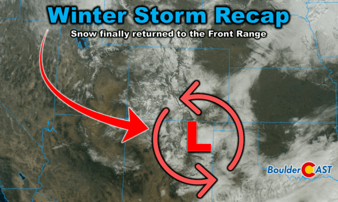
Winter finally showed up in style this week along the Front Range. After a sluggish start to the season, our first true snowstorm delivered nearly 18 hours of steady flakes, painting Boulder, Denver, and much of Colorado in white. But this wasn’t just a simple upslope event—there were some fascinating atmospheric twists that kept the snow machine running longer than expected. We review the storm setup and snowfall totals which greatly favored the western side of the Metro area including Boulder.
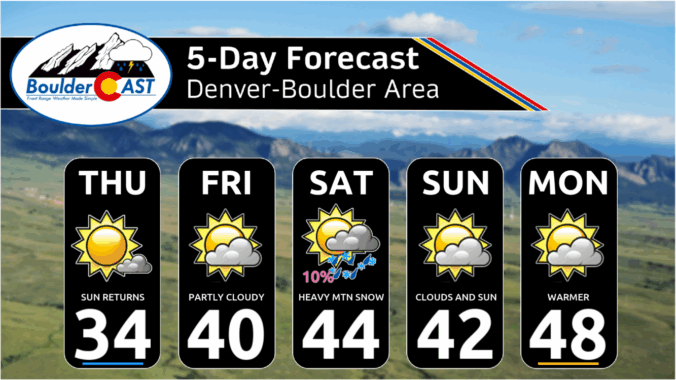

Snow has been falling steadily since midnight, turning the Front Range into a real winter wonderland on this Wednesday. We review the regional snowfall totals so far, and discuss the latest forecast details, including when we expect this snowstorm to loosen its grasp on the Front Range.

Live View of Boulder

Current Conditions

Live Radar

Latest Smoke Forecast

Recent Premium Posts

BoulderCAST Daily – Sun 09/27/26 | A Mild Sunday, Followed by Wet Weather This Week
☀️ Mild Sunday — Highs well into the lower 80s with a few …
BoulderCAST Daily – Sat 09/26/26 | Quiet Weather, But Wet Weather Is Brewing Next Week Tied To A Tropical System
☀️ Weekend calm — Weather is quiet this weekend in the lower 80s …
BoulderCAST Daily – Fri 09/25/26 | A Stormy Friday, Followed by a Quiet Weekend
🌧️ Friday storms — Another wave brings afternoon scattered showers and storms ☀️ …
3-Day Forecast

Trending Content



© 2026 Front Range Weather, LLC