



Page 44 of 585
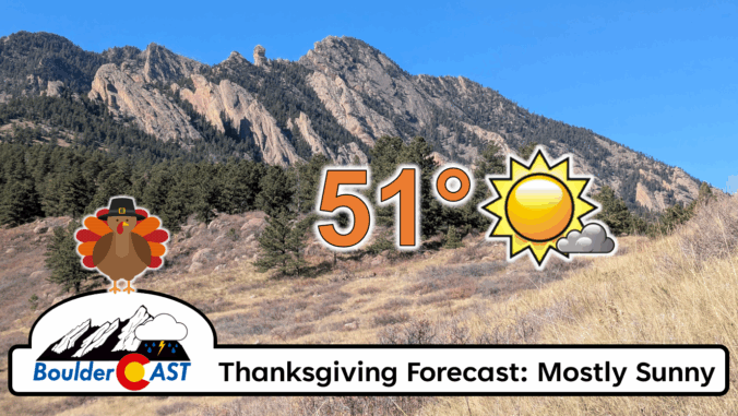
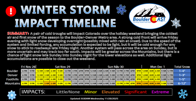
After weeks of unseasonable warmth, the Front Range is staring down its first taste of winter. Mild weather will continue for the next few days, including a beautiful Thanksgiving holiday, but by Friday night a powerful cold front will surge into Colorado, ending this historic snow drought with our first flakes of the season likely to fall. Read on for a full breakdown of what to expect and when, including our preliminary snowfall forecast map for Friday night.
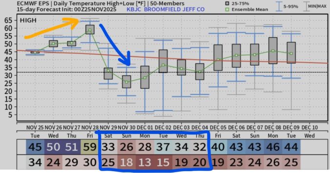
As we wrap up November and head into Thanksgiving week, the weather is serving up a mix of calm and intrigue. The lead up to the holiday will be pleasant enough, but there are growing signs of a big pattern shift waiting in the wings. Could Arctic air and long-awaited snowflakes finally arrive by the weekend? The details are still coming into focus, but we’ve got the latest outlook and what it could mean for your holiday weekend plans.
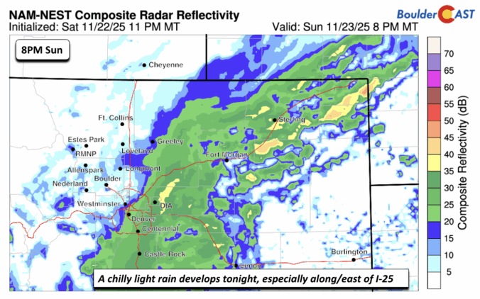
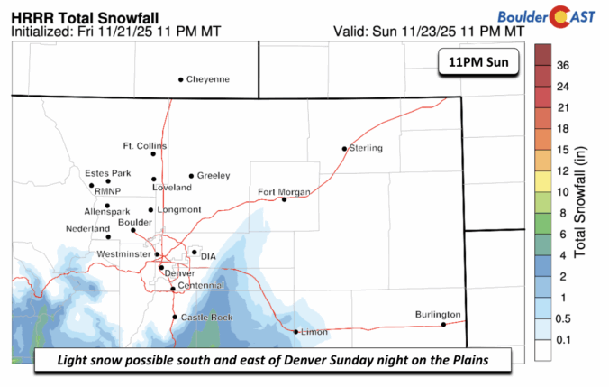
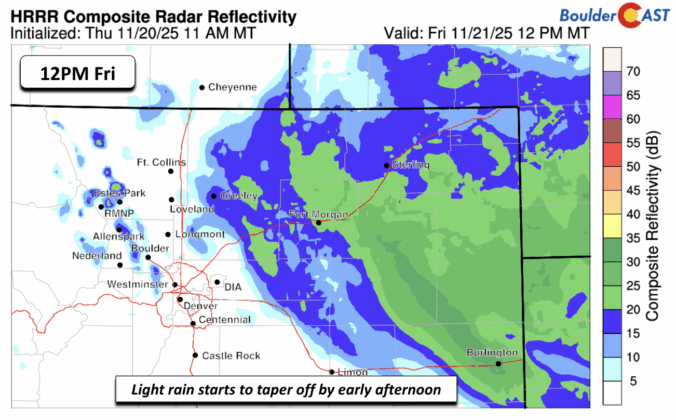
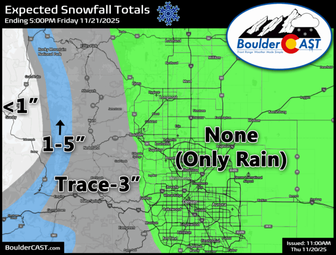
It’s been a tricky week for the weather models — and for us forecasters trying to make sense of it all. Our latest storm system has kept everyone on their toes, thanks to a complicated dance between two low-pressure systems across the Southwest. Each new model run seemed to rewrite the story, with big swings in outcomes and plenty of disagreement between guidance. But now that the storm is closing in, confidence is finally improving: we’re looking at a light precipitation event for the Front Range, with rain the only worry across the lower elevations.

Live View of Boulder

Current Conditions

Live Radar

Latest Smoke Forecast

Recent Premium Posts

BoulderCAST Daily – Sun 09/27/26 | A Mild Sunday, Followed by Wet Weather This Week
☀️ Mild Sunday — Highs well into the lower 80s with a few …
BoulderCAST Daily – Sat 09/26/26 | Quiet Weather, But Wet Weather Is Brewing Next Week Tied To A Tropical System
☀️ Weekend calm — Weather is quiet this weekend in the lower 80s …
BoulderCAST Daily – Fri 09/25/26 | A Stormy Friday, Followed by a Quiet Weekend
🌧️ Friday storms — Another wave brings afternoon scattered showers and storms ☀️ …
3-Day Forecast

Trending Content



© 2026 Front Range Weather, LLC