This week several large wildfires will continue to slowly grow across Colorado as smoke remains stubbornly locked over the Front Range, and a heat dome building for the upcoming weekend will be downright punishing. But there is light at the end of the hot and smoky tunnel — the now-delayed 2026 monsoon will make its triumphant return next week. Read on for all the details.

Page 4 of 576
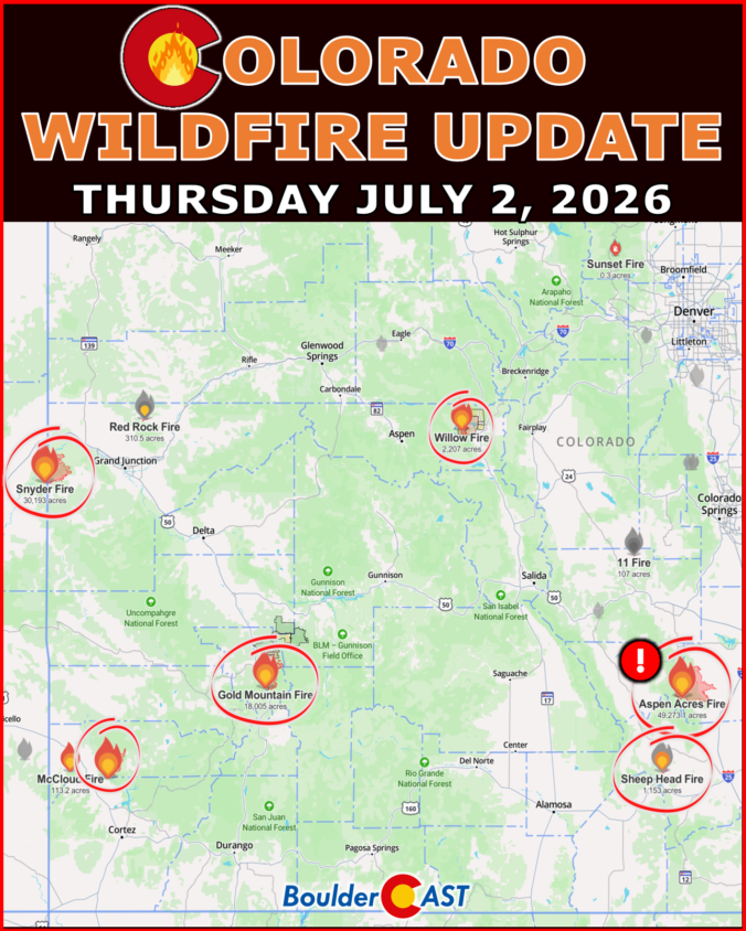
We provide a brief status update on the largest and most impactful wildfires burning across Colorado as of Thursday July 2, 2026 at 10AM.
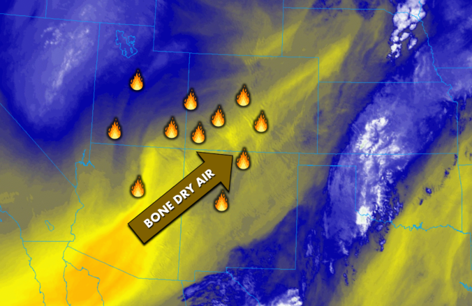
Colorado has been stuck in a dry, windy southwest‑flow pattern all week that has led to more than 130,000 acres of forest and shrubland burning across the state in nearly a dozen large fires. Now, as we head into the holiday weekend, the pattern finally shows some give: winds ease, temperatures climb, and a slow return of low‑level moisture should allow a few storms to sneak back into the Front Range. It’s not a full reset — meaningful rainfall will still be hard to come by for now — but the atmosphere is nudging Colorado toward a more familiar early‑July rhythm just in time for the Fourth. We break down how this evolving setup will shape the weekend’s weather, fire danger, and your outdoor plans.
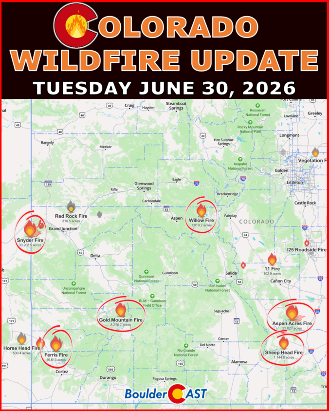
We provide a brief status update on the largest and most impactful wildfires burning across Colorado as of Tuesday June 30, 2026 at 9AM.

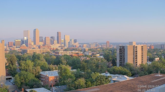
Live View of Boulder

Current Conditions

Live Radar

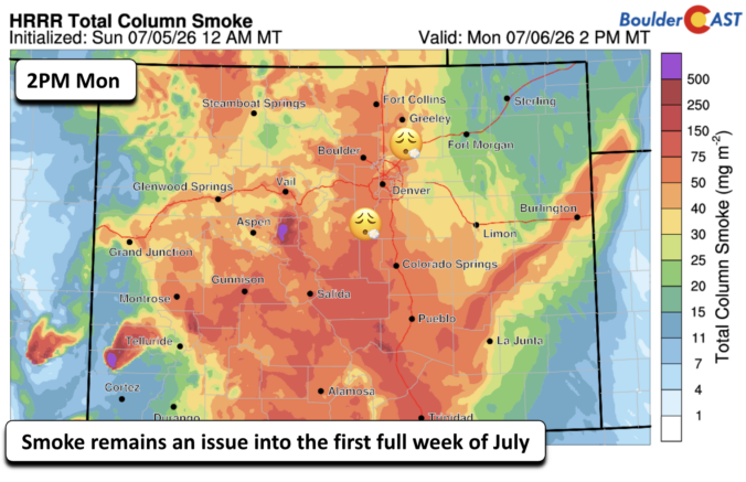
Latest Smoke Forecast

Recent Premium Posts

BoulderCAST Daily – Wed 07/29/26 | Final Storm‑Filled Afternoon Before an Expanding Desert Southwest Heat Dome Takes Over
🌧️ Lingering Monsoon Moisture — Lingering Tap One last day of beneficial rainfall …
BoulderCAST Daily – Tue 07/28/26 | Front Range Primed for Widespread Thunderstorms as Monsoon Reloads
🌩️ Monsoon moisture surge — Deep moisture availability today, both aloft and at …
BoulderCAST Daily – Sun 07/26/26 | Record Heat Continues…
🔥 Heat Advisory Still in Effect — Near-record temperatures near‑100° this afternoon. 🌩️ …
3-Day Forecast

Trending Content

© 2026 Front Range Weather, LLC