



Page 240 of 586

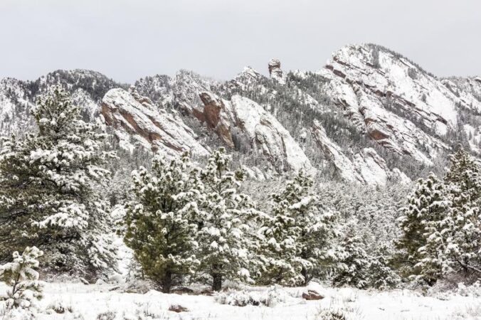
The incredibly snowy start to 2022 continued with yet another snowstorm across the Front Range last evening. The storm played out as we expected with up to 10″ of snow falling in some locations. Let’s take a look at both the storm and seasonal snowfall totals and the current status of the drought. We also peek ahead to the next Arctic blast targeting Colorado early next week.


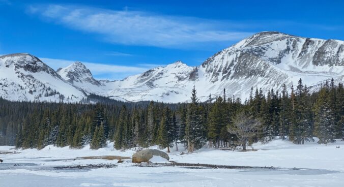
After several mild and beautiful February days, winter is entering right back into the forecast. The first southern-track storm of the season will aid in producing a smattering of wintry weather on Wednesday including much colder temperatures, patchy freezing drizzle and several inches of accumulating snow. Let’s take a look at the atmospheric setup, timing of the first flakes, potential commute impacts, and our snowfall forecast map.
Premium Storm Update (2/16/22 7:00AM): Overnight model runs have increased our confidence that higher-end snow totals will occur with this system. Thus we are bumping up snow amounts a tad across the area. We discuss the latest from six different models and the updated timeline for snow beginning Wednesday afternoon. READ HERE
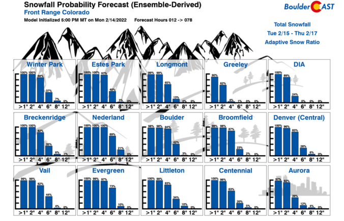
BoulderCAST Daily – Tue 02/15/22 | One more mild day as winter weather takes hold again late tonight
The upcoming week will begin and end rather quiet across the Front Range, but smack in the middle we’ve got an excellent chance of upslope snow on Wednesday. Models remain inconsistent with the specifics of this storm system, but it’s clear that everyone should see some accumulation alongside the markedly colder temperatures. Read on for our preliminary snowfall expectations and a complete outlook for the week ahead.

Live View of Boulder

Current Conditions

Live Radar

Latest Smoke Forecast

Recent Premium Posts

BoulderCAST Daily – Fri 10/09/26 | Mild and Quiet Weather Through the Weekend
🔥 Record October heat: Highs may approach record highs today in the middle …
This Weekend in Colorado Weather: 80s Continue With a Big Western Storm Brewing, But Colorado’s Role Next Week Remains Unclear
🌤️ Summer Preview Continues: Warm and dry weather hangs on through the weekend …
BoulderCAST Daily – Wed 10/07/26 | Colorado Remains Stuck in a Remarkably Warm October Pattern
🔥 Record October heat: Boulder hit a record 89° on Tuesday, Denver tied …
3-Day Forecast

Trending Content



© 2026 Front Range Weather, LLC