




Page 233 of 586

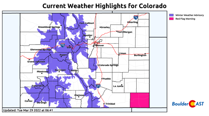
⦁❶⦁ A wet storm system will spread rain, thunder and eventually some snow across the area today into tonight
⦁❷⦁ After highs in the 50s, a strong cold front blows through by early evening with tumbling temperatures and blustery northeast winds to 40 MPH
⦁❸⦁ Rain will change to snow during the mid to late evening, with that transition happening earlier in the Foothills and Palmer Divide
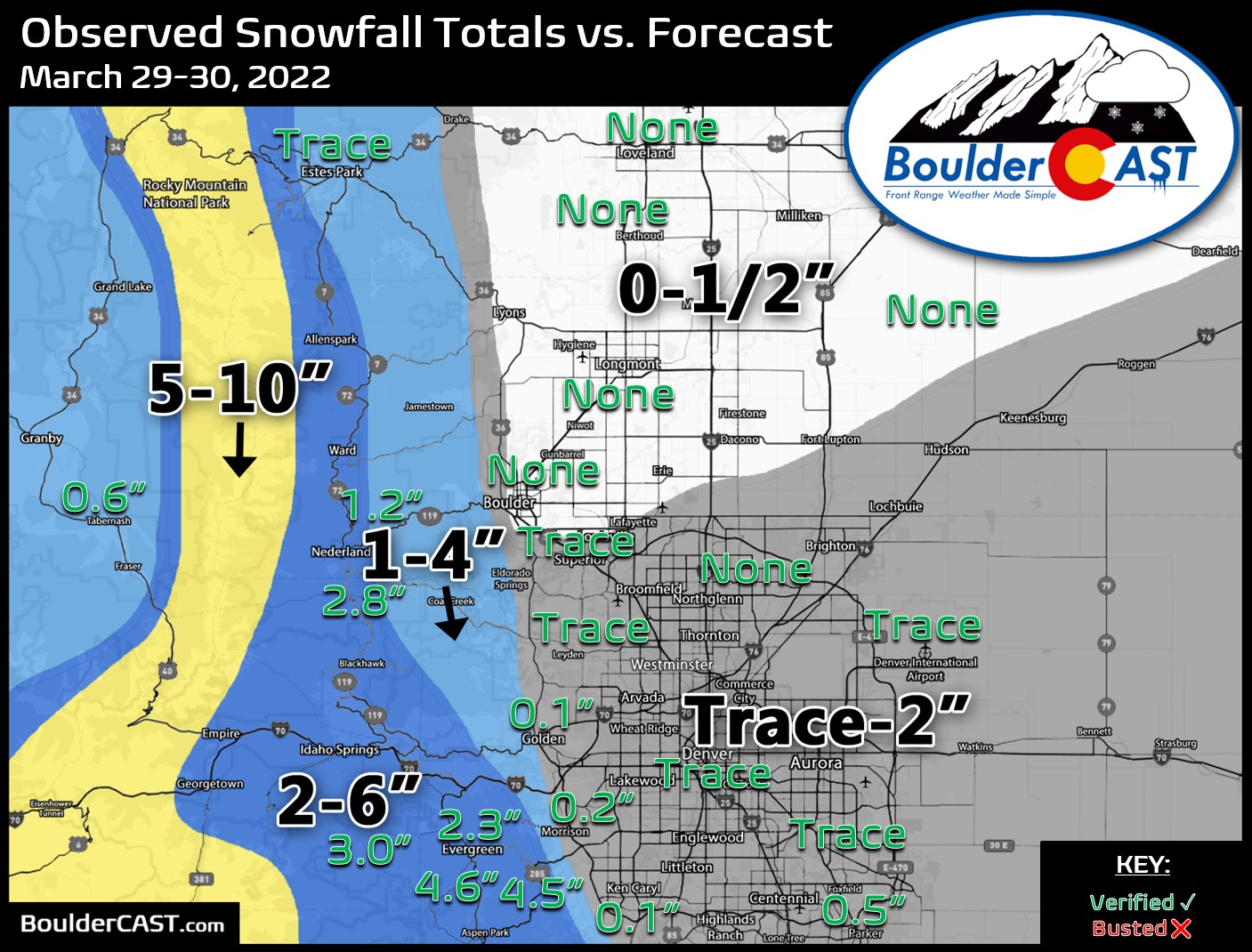
⦁❹⦁ Generally less than 1″ of accumulation is expected across the lower elevations, but several inches in the higher terrain

We start the week with near-record warmth with some locations reaching the lower 80s on Monday. That warmth vacates quickly come Tuesday with a strong storm system and associated cold front moving through. Rain and some thunder will change to wet snow Tuesday night. Another system approaches late in the week but its rain/snow potential looks much lower than the former storm. Read on for all the details of the weather week ahead.
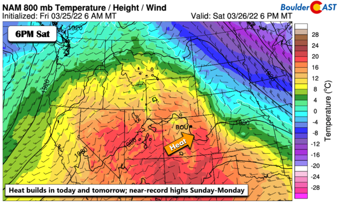
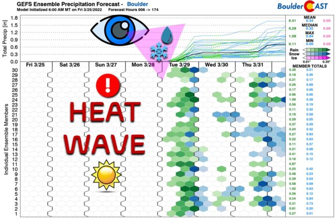
Absolutely gorgeous weather is taking shape for the weekend ahead with temperatures forecast to soar towards to the 80-degree mark in the Denver area. A few of these days could be record-setting for the region! As always, the warmth does have a planned expiration date as the next spring storm system will arrive around Tuesday with rain, snow and colder temperatures in tow.


Live View of Boulder

Current Conditions

Live Radar

Latest Smoke Forecast

Recent Premium Posts

BoulderCAST Daily – Fri 10/09/26 | Mild and Quiet Weather Through the Weekend
🔥 Record October heat: Highs may approach record highs today in the middle …
This Weekend in Colorado Weather: 80s Continue With a Big Western Storm Brewing, But Colorado’s Role Next Week Remains Unclear
🌤️ Summer Preview Continues: Warm and dry weather hangs on through the weekend …
BoulderCAST Daily – Wed 10/07/26 | Colorado Remains Stuck in a Remarkably Warm October Pattern
🔥 Record October heat: Boulder hit a record 89° on Tuesday, Denver tied …
3-Day Forecast

Trending Content



© 2026 Front Range Weather, LLC
You must be logged in to post a comment.